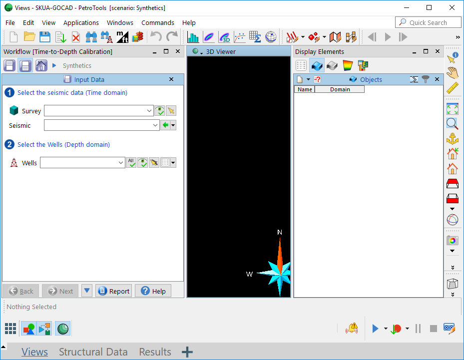
Since 2013, GOCAD™ and SKUA™ have been merged into one application, which is now available either as a standalone configuration or running on Epos™. Projects from both GOCAD and SKUA can be loaded into the SKUA-GOCAD™ application, and SKUA and GOCAD workflows can be shared. GOCAD has led the industry for over 20 years in providing the most advanced capabilities for seismic, geological and reservoir modeling. Fully integrated and multi-disciplinary, GOCAD produces accurate results, resulting in more reliable reservoir predictions.

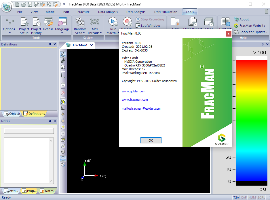
Launched in 1987, FracMan® is the world’s first commercially available Discrete Fracture Network (DFN) software and has since been adopted by organizations across the infrastructure, mining, energy, power, and nuclear waste sectors. FracMan® Version 8 brings improvements such as new DFN simulation features and enhanced model visualization.
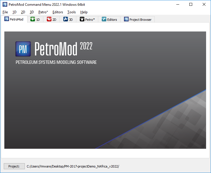
PetroMod 2022.1 petroleum systems modeling software combines seismic, well, and geological information to model the evolution of a sedimentary basin. The software predicts if, and how, a reservoir has been charged with hydrocarbons, including the source and timing of hydrocarbon generation, migration routes, quantities, and hydrocarbon type in the subsurface or at surface conditions.
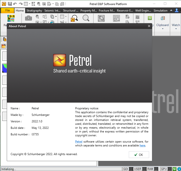
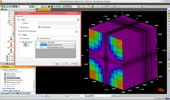
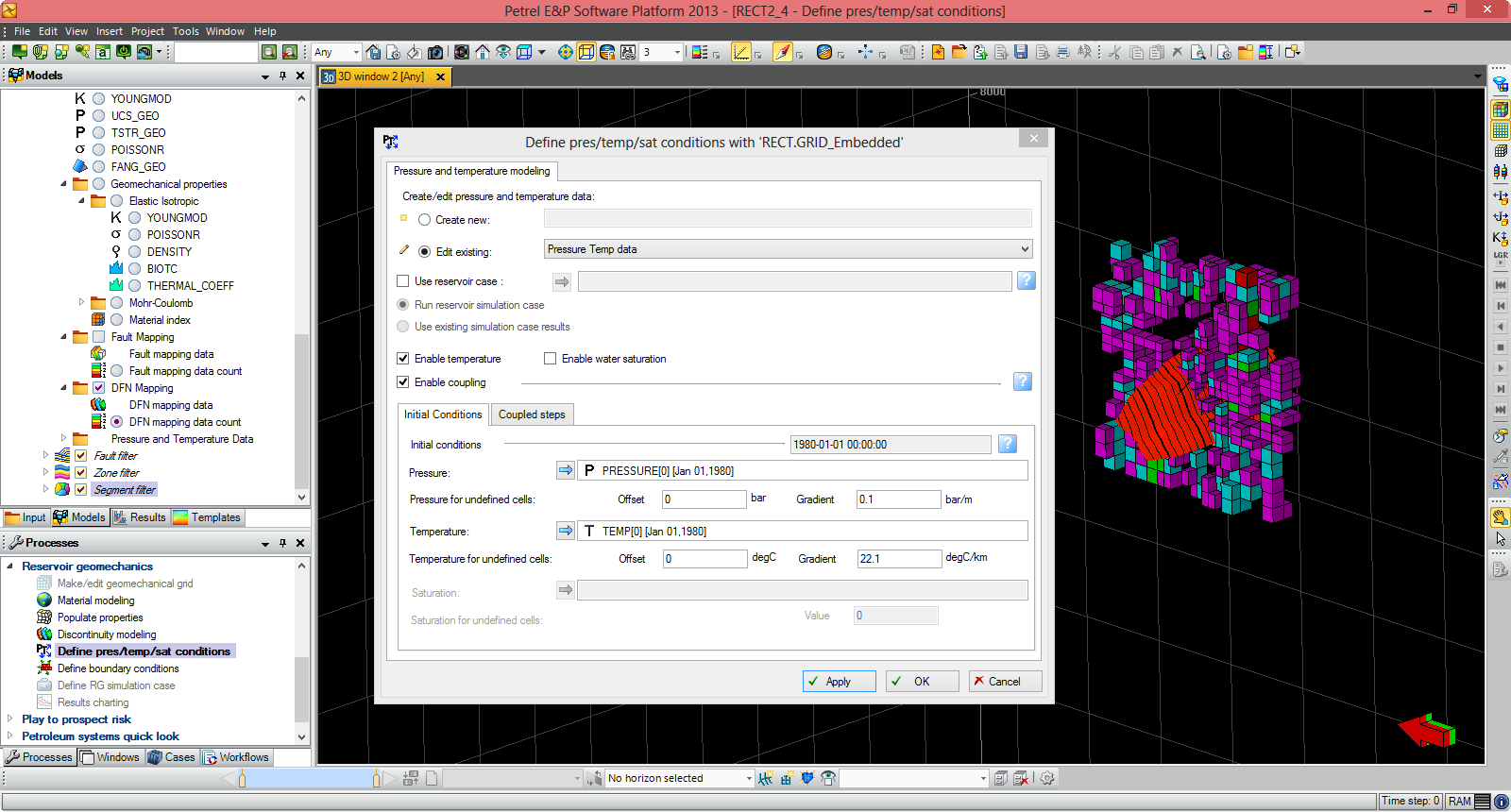
Finding, characterizing, and exploiting new and existing reservoirs is increasingly complex. To overcome these challenges, we must continually improve and innovate the way we work. With the Petrel E&P Software Platform, Schlumberger revolutionized the oil and gas industry by bringing disciplines together with best-in-class science in an unparalleled productivity environment. Our commitment to Petrel resulted in dramatic strides forward in the way we develop and deliver a software platform, and with the Petrel 2022 Platform and update releases, we continue to deliver on our promise of better integration, deep science, and productivity. Today we support an engineering team unrivaled in size and expertise, empowered by the Ocean software development framework. More than ever before, we are positioned to help you develop critical insights into reservoirs throughout the oilfield lifecycle. With this Petrel E&P Software 2022.1 major release, Schlumberger continues its commitment to improve and innovate the way you work. Petrel allows multi-domain experts to co-create a shared earth model that can be continuously updated as new information is acquired. These release notes contain short descriptors for the most significant enhancements, fixed issues, and known limitations, as well as system requirements and recommendations.
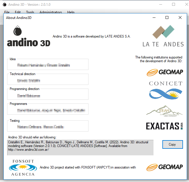
Andino 3D is a structural modeling software that allows the integration of all the information available in your company or area of interest in a three-dimensional environment. A tool that allows the integration of mixed geological and geophysical information. Handle digital topographies, raster images, 2D and 3D seismic, well information, vector maps, surface and subsurface structural information. You can organize information linking to external files.
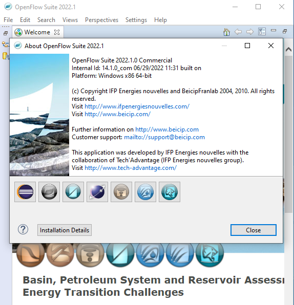
OpenFlow Suite 2022 is another step forward in the continuous development of Beicip-Franlab E&P Software Suite. Bringing new capabilities, more user-friendliness and better performances, OpenFlow Suite is now more than ever a complete platform for basin, petroleum system and reservoir assessment to address the O&G industry challenges, while engaging in the energy transition with solutions for geothermal and carbon storage modeling.
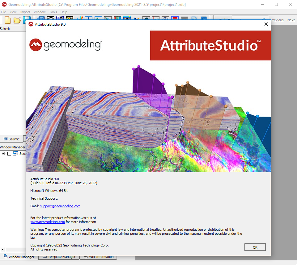
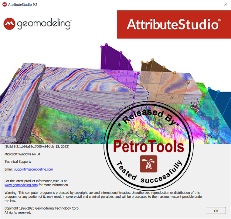
Geomodeling Technology Corp. is a leading innovator of seismic attribute analysis and multi-scale reservoir modeling software and services for the upstream exploration and production industry. We enable petroleum companies to maximize revenue and reduce costs with software solutions and project-based services for improved reservoir characterization and recovery. We are a privately-held global company with headquarters in Calgary, offices in Beijing and Houston, and customers around the world.
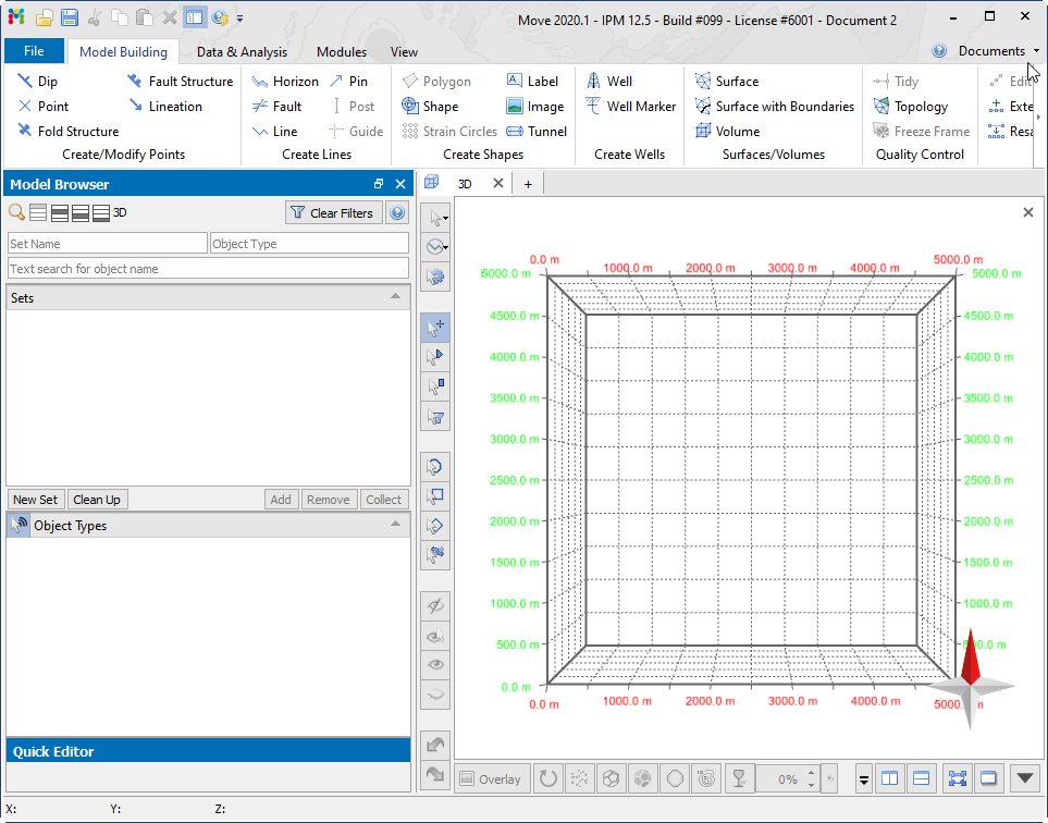
The MOVE suite 2020 is the most complete structural modelling and analysis toolkit available. It provides a full digital environment for best practice structural modelling to reduce risk and uncertainty in geological models. The MOVE suite provides a platform for integrating and interpreting data, cross-section construction, 3D model building, kinematic restoration and validation, geomechanical modelling, fracture modelling, fault response modelling, and fault & stress analysis.
Petrosys is the leader in mapping, modeling and data management solutions for the oil & gasindustry – uniquely integrated with the broadest range of specialist geoscience and GIS applications. Petrosys produces quality maps and visualizations. It aggregates, manages and analyzes the underlying data – for actionable results that communicate with clarity and accuracy. Petrosys is the industry leader in mapping, surface modeling and data management software solutions – delivering direct connectivity with the E&P industry’s most popular exploration, production and GIS data sources. Petrosys produces high quality maps and surface models. It manages, edits, and analyses the underlying information including the specialised seismic, well and geoscience data used in the search for oil and gas. Geoscientists, data managers and engineers at more than 300 sites worldwide use Petrosys software as an essential tool for basin and field interpretation, to enhance enterprise data management and to help make better decisions.
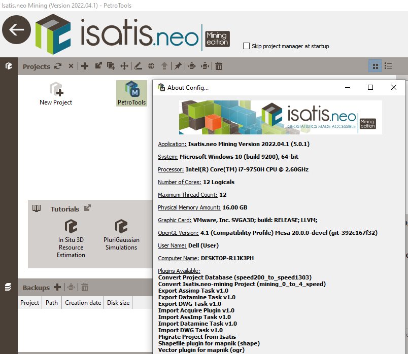
Isatis.neo 2022.04 is the leading and most comprehensive software solution for geostatistics. Featuring an intuitive user interface, it results from Geovariances’ dual commitment to developing breakthrough technology and making premium geostatistics accessible to more users. Designed for every business dealing with spatialized data, Isatis.neo exceeds industry standards in geostatistics. The software enables thorough data analysis and visualization, produces high-quality maps and models, and allows you to carry out extensive uncertainty and risk analyses that optimize your decision-making process.


 O-Sense