

 O-Sense
مدیریت اطلاعات زمین شناسی | PetroSys 2021.2.4
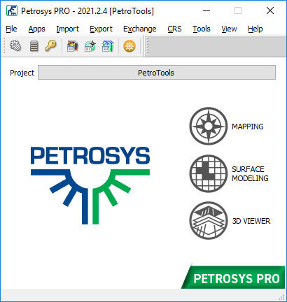
Petrosys is the leader in mapping, modeling and data management solutions for the oil & gasindustry – uniquely integrated with the broadest range of specialist geoscience and GIS applications. Petrosys produces quality maps and visualizations. It aggregates, manages and analyzes the underlying data – for actionable results that communicate with clarity and accuracy. Petrosys is the industry leader in mapping, surface modeling and data management software solutions – delivering direct connectivity with the E&P industry’s most popular exploration, production and GIS data sources. Petrosys produces high quality maps and surface models. It manages, edits, and analyses the underlying information including the specialised seismic, well and geoscience data used in the search for oil and gas. Geoscientists, data managers and engineers at more than 300 sites worldwide use Petrosys software as an essential tool for basin and field interpretation, to enhance enterprise data management and to help make better decisions.

Mapping and Visualization
Transform mapping standards and efficiencies across your organisation with consistent, accurate and compelling maps – critical in effective communication.
- Reinforce the credibility of your work with compelling presentations
- Produce publication quality maps in minutes
- Display data directly from the most popular E&P applications and data stores
- Trace/edit contours, faults & outlines for subsurface map interpretation
- Accurately map data from multiple coordinate systems
Surface Modeling and Volumetrics
Produce surface models of the highest quality and reliable volume estimates by leveraging the most trusted, effective and repeatable geoscience methods.
- Unique ability to simultaneously model data from multiple sources
- Superior grid engineering with excellent fault handling
- Easy to configure and re-use modeling workflows that support automation
- Volumetrics – simple and accurate
- Clear logical user interface
Direct Connectivity and Exchange
Intuitive, direct connectivity to key subsurface applications from Schlumberger, Halliburton, IHS and more. Gain valuable insight by effortlessly combining data from multiple disciplines and datasets.
- Simple, direct connectivity with core subsurface applications and databases
- The most dynamic aggregator of data for mapping and surface modeling
- Powerful spatial and subsurface data exchange tools
- Works simultaneously with Windows® and Linux® based applications
تیم PetroTools آخرین نسخه این نرم افزار را برای شما ارائه می دهد. جهت تهیه نرم افزار با استفاده از منوی خرید با ما در تماس باشید
For buy software, Please contact us via buy menu