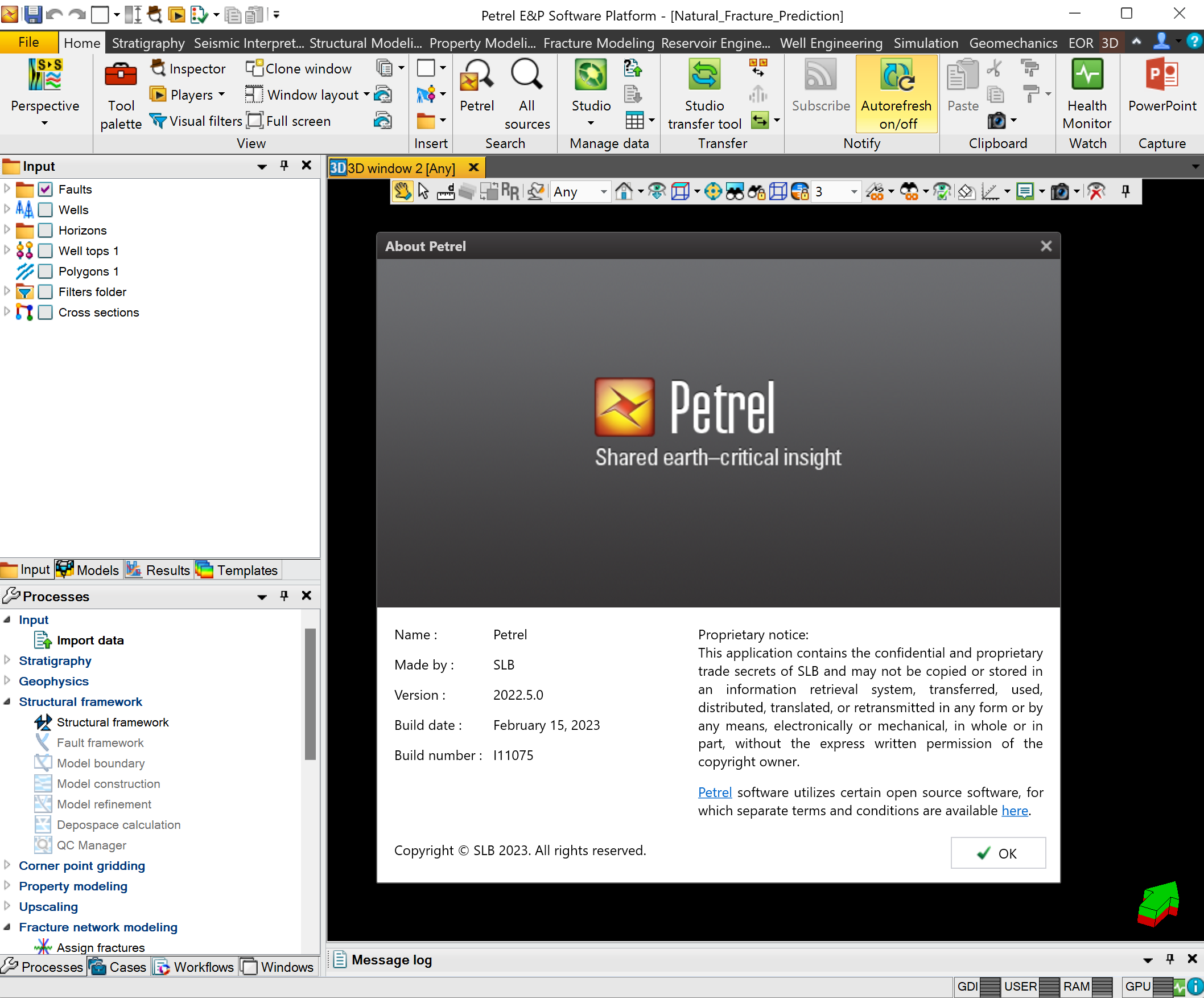
پلت فرم کامل مهندسی نفت | Petrel 2022.5 + Plugin

Finding, characterizing, and exploiting new and existing reservoirs is increasingly complex. To overcome these challenges, we must continually improve and innovate the way we work. With the Petrel E&P Software Platform, Schlumberger revolutionized the oil and gas industry by bringing disciplines together with best-in-class science in an unparalleled productivity environment. Our commitment to Petrel resulted in dramatic strides forward in the way we develop and deliver a software platform, and with the Petrel 2022.5 Platform and update releases, we continue to deliver on our promise of better integration, deep science, and productivity. Today we support an engineering team unrivaled in size and expertise, empowered by the Ocean software development framework. More than ever before, we are positioned to help you develop critical insights into reservoirs throughout the oilfield lifecycle. With this Petrel E&P Software 2022.5 major release, Schlumberger continues its commitment to improve and innovate the way you work. Petrel allows multi-domain experts to co-create a shared earth model that can be continuously updated as new information is acquired. These release notes contain short descriptors for the most significant enhancements, fixed issues, and known limitations, as well as system requirements and recommendations.
The following content contains descriptions of new features and behavioral changes in this release, organized by domain.
Geophysics
- Meshprobe:Azimuthaltranslationisnowavailableformeshprobeobjects.YoucanviewthetranslationintheMesh taboftheobject'sSettingsdialogbox.Thisenablesyoutomoveaprobeinthespecifiedazimuthdirection.
- Seismicwelltie:Maxcorrelationisdisplayedbydefaultforasinglecross-correlationtraceonthecross-correlation track in the seismic well tie output when you run the Synthetic generation workflow. It also displays Max afterrotate andMaxafterrotateandshiftvaluesifyouselectComputephasemistieCorrelationtaboftheSeismicwelltiedialog box.
Geological Interpretation
- Welldataimport:Fixedanissuewherestringdatawasincorrectlyconvertedintodateformatwhenimported.
- Rasterdigitization:Fixedissuethatoccurredwhenmanuallydigitizingdatawithareversedscale.
Foundation
- AddedMedianaspartofobjectsettings:Youcannowreadthemedianofpoints,polygons,andsurfacesintheStatisticstabofthesettingsofthesupportedobjects.Unsupportedobjectswillshow'---'astheMedianvalue.
- Newmapserviceauthenticationmethod:oAuth2.0andSAMLArcGISauthenticationisnowsupported.
- Using a Client ID set up in an ArcGIS server, you will be prompted to log in using the browser and willbe authenticated to display maps from thatserver.
- When trying to display the map after authentication has timed out (login persists for a few days), you will be prompted to log in again
Geophysics
General
- Meshprobes:
- There may be an error when converting a mesh probe made from multi-z data into a seismic cube. This is best checked by playing converted timeslices through the original multi-z data to check that the conversion is correct.
- There will be an error when extracting geobodies from a volume mesh probe made from seismic horizons or surfaces that have holes in them.
- Horizonprobes:Horizonprobesuseanon-demandviewwhichisnotcachedwhentheprojectissaved.Therefore,on reopening a project that contains a horizon probe, the first time the probe is displayed, the system must resample the surface/horizon. For large surfaces, this can take a considerable amount of time. You may wish to close thewindow that shows the probe before you save the project or press Ctrl when opening the project (this opens the project with no windows open).
- Meshes:Youcannotcreateaneditablemeshfrom3Dinterpretationdataiftherearegapsbetweeninterpretedpoints, for example if you have interpreted on a cube with an increment greater than the survey increment. You canresolve this by either interpolating the data or converting to a surface.
- WorkflowEditor:TheOutputfieldsintheVolumeattributesprocessintheWorkfloweditorareresettoitsinitial default state when a workflow file is imported in Petrel. It creates limitations to the export and importworkflow.
Seismic Well Tie
Depth seismic calibration study:
- A Depth seismic calibration study with only bulk shift applied created prior to Petrel 2019.2 gets the wrong depth correctionvalueswhentheprojectisupgraded.YoumustopentheSeismicwelltieToolPalette,checkthebulkshift, remove it and apply the same bulk shift but with the opposite sign.
Workaround: Open the Seismic well tie Tool Palette, check bulk shift, remove it and apply the same bulk shift but with the opposite sign.
- To add the bulk shift value in the Well Tops spreadsheet, depth correction value, after the project upgrade for alldepth seismiccalibrationstudiescreatedprior2019.4,youmustcheckthattheAlignpointsSeismic welltieToolPalette.IftheAutosaveallOutputtaboftheSeismicwelltie dialogbox,itdoesnotactivatetheSetactiveDDRoption.Tomakeitactive,clickSavenexttotheDDRoption.
Geological Interpretation
General
- SavedsearchcannotbeappliedwhenminandmaxsetfortheHistogramwindow:Whenaminimumandmaximum aresetinHistogramwindowsettings,savedsearchescannotbeappliedtothehistogram.
- HighlightandremoveoptionscannotbeappliedintheHistogramwindowwhenmultipletemplatesaredisplayed:WhenmultipleobjectswithdifferenttemplatesaredisplayedinaHistogramwindow,highlightandremoveoptionsin the 1D filter cannot be applied.
- Mapwindow:UsingacolorfilteronasurfaceintheMapwindowisnotsupported.Itisrecommendedtousethe2D window
- PWDdataloadofuserattributes:Itisnotpossibletoloadpointwelldatawithuserattributesthathaveemptycellsin the last column. Undefined values can be included as a user-defined number (string "", date:NULL).
- Make/editsurfaceinWorkfloweditor:$variablesusedundertheKeepwellsinzonesWelladjustmenttab are replaced by default values when you run a workflow created in Petrel 2022.2 (which allows the use of $ variables) in older Petrel versions (which do not allow the use of $ variables).
- Discretepropertytemplates:ForprojectssavedinPetrel2021.xandthenopenedinPetrel2022.x,theremightbe duplicatesequencestratigraphytemplatesintheDiscretepropertytemplatesfolderintheTemplates templates are Depositional trend, Aggradation trend, Grain size trend, and System track.
- Inter-zonelayerstatistics:Fixedanissuewithincorrectdepthvaluesforpointwelldatageneratedfrominter-zone layer statistics for projects in Field unit systems.
- Contourlinesdisassociatedfromasurface:Insomecases,whenasurfaceisrotated,thecontourlinescanbe disassociated from the surface after running a workflow. This issue is currently underinvestigation.
- WellDataloader-userdefinedwellattributes:UserattributesloadedwiththeWelldataloaderareassumedtobein SI unit in the source file. This can lead to data being converted incorrectly during the import process. Until the issue is fixed, you must manually convert user attributes to SI units in the source file.
- Customwellsymbols:Customwellsymbolsizemustbeinmultiplesofeightpixelsperrow.Symbolsthatarenota multipleofeightpixelsperrowwillnotdisplayinthe2Dwindow3Dwindow.
Well Section Window
- Welltops:Whenchangingthenameoftheinterpreterwithhighestpreferenceinthewelltopsinterpreterfilter,the well top will no longer display even if interpreter preference is not enabled. Toggling the well tops off and onwill refresh thedisplay.
- Wellheaders:Fixedanissuewithwellheadersmisalignedwhenawindowisresizedwiththemagnifyingglassand percentage zoom.
- Styletabfordepogridproperties:Styletabeditsfordepogridpropertiesarenotpreservediftheprojectisopenedin
2018.1. Default settings apply in Petrel 2018.1 and the Style tab is not available.
- CustomtemplatesintheWellSectionWindow:SurfacescannotbedisplayedintheWellSectionWindowwhenusing custom templates inside the Well SectionWindow.
- Wellcorrelation:UsingCreate/editpointstoolclearsallpointattributesvalues.Whenyouinsertnewpointsoreditthe existingonesusingtheCreate/editpointstoolintheWellsectionwindow,thepointattributevaluesarecleared.
- Wells:Customwellsymbolsmustbeamultipleofeightpixelsperrow.Symbolsthatarenotamultipleofeightpixels per row will not display in the 2D 3D
- Customizewelllabelsettingsforwellsinsub-folders-knownissuesduetobackwardcompatibilityfrom2021.2to 2021.1:
- When the well label's position is set to a surface on the well-folder level, when the project is open in an earlier Petrel version (2021.1) in a project without the surface, the well label won't be shown because the position cannot be defined due to the missing surface, unless you update the Wells main folder'ssettings.
- WhenthefontsizeisbiggeratthewellfolderlevelthanontheWellsmainfolderlevel,inanearlierPetrelversion (2021.1), all well labels in the project are displayed with the bigger font size. Workaround: Update the settingsof Wells mainfolder.
Workflow Editor
- Welltopscalculator:WhenusingthewelltopscalculatorwithintheWorkflowEditor,theMDvalueofthewelltops will not change even if the calculation would normally overwrite this value. Outside of the Workflow Editor,this behavior is working as expected.
- MDvaluesofwelltops:WhenusingtheWelltopscalculatorintheWorkflowEditor,theMDvalueofwelltopswillnot changeevenifthecalculationwouldnormallyoverwritethisvalue.OutsideoftheWorkflowEditor,thisbehavior works as expected.
- NewWorkfloweditorcommands:SomeofthenewWorkfloweditorcommandsintroducedinPetrel2020.2and2020.3 do not appear in workflows when the project is opened in Petrel 2020.1. If you save the project in Petrel 2020.1, the workflow is overwritten and is completely empty when the project is reopened in Petrel 2020.2 or later versions. Affected commands are:
- Convert well tops to isochore points
- Add/update zone log
- Insert new well tops attribute
- Continuous well tops attribute operations
Geomechanics
Reservoir Geomechanics
- VISAGEINTERSECTcoupling:Theporevolumeupdatingofthefracturemodelcanbeunstableforlargeporevolume changes causing convergence issues in the INTERSECT simulation. In this case, you are advised to turn off the pore volume updating of the fracture model.
- PorevolumeupdatingwithLGR:Two-waycouplingwithporevolumeupdatingwithLGRsrequirestheLGRstomatch exactly, be of regular IJK shape, and to not have an irregular polygonboundary.
- Quick MEM: Does not supportLGRs.
Reservoir Modeling
- ReportingofVolumecalculationusingoverlappingboundaries:When(3D)VolumecalculationandMap-basedVolume calculation are run using overlapping boundaries, the total/net bounded volume (using Union relationship) may differ negligibly in Petrel 2022.1 compared to prior versions. This is due to a small change to improve the reporting functionality andaccuracy.
- DataanalysissettingsinMIPobjects:Currentlyonlysinglevariogramstructuresandglobalfaciesfractionsare captured in MIP from data analysis. Proportion, probability, and transformation curves are not stored in
- MIPobjectunitdependencywithRPT:ItisnotpossibletotransferMIPobjectsbetweenprojectsiftheXYandZunits if the Working and Background projects are not thesame.
- Uncertaintyandoptimization-Trendmodeling:2DdiscreteTrendmodelingprocessisnotrestoredintheUncertainty and optimization process when its output is used as input in a process defined in a case. Only discrete 3D trend modeling is listed in the Uncertainty and optimization workflow. 2D trend models can be added to theworkflow through Edit workflow in Unceratinty and optimization process.
Drilling
The default Geomagnetic model IGRF-12 expired on January 1, 2020. If you must use a date later than December 31, 2019 in a survey program object for the well positioning calculations (EOU, Anti-collision, No-go zone), you must load a newer version of the geomagnetic model in Petrel 2021.
GeoMagnetic Loader plug-in is required to support the loading one or multiple geomagnetic models for Petrel 2021, including:
- IGRF-13. The valid date is from January 1, 1900 to December 31, 2024. This is the default built into the plug-in.
- BGGM 2020. The valid date is from January 1, 1900 to December 31, 2021.
- BGGM 2021. The valid date is from January 1, 1900 to December 31, 2022.
- HDGM 2020. The valid date is from January 1, 1900 to December 31, 2021.
- HDGM 2021. The valid date is from January 1, 1900 to December 31, 2022.
تیم PetroTools آخرین نسخه این نرم افزار را برای شما ارائه می دهد. جهت تهیه نرم افزار با استفاده از منوی خرید با ما در تماس باشید
For buy software, Please contact us via buy menu


 O-Sense
