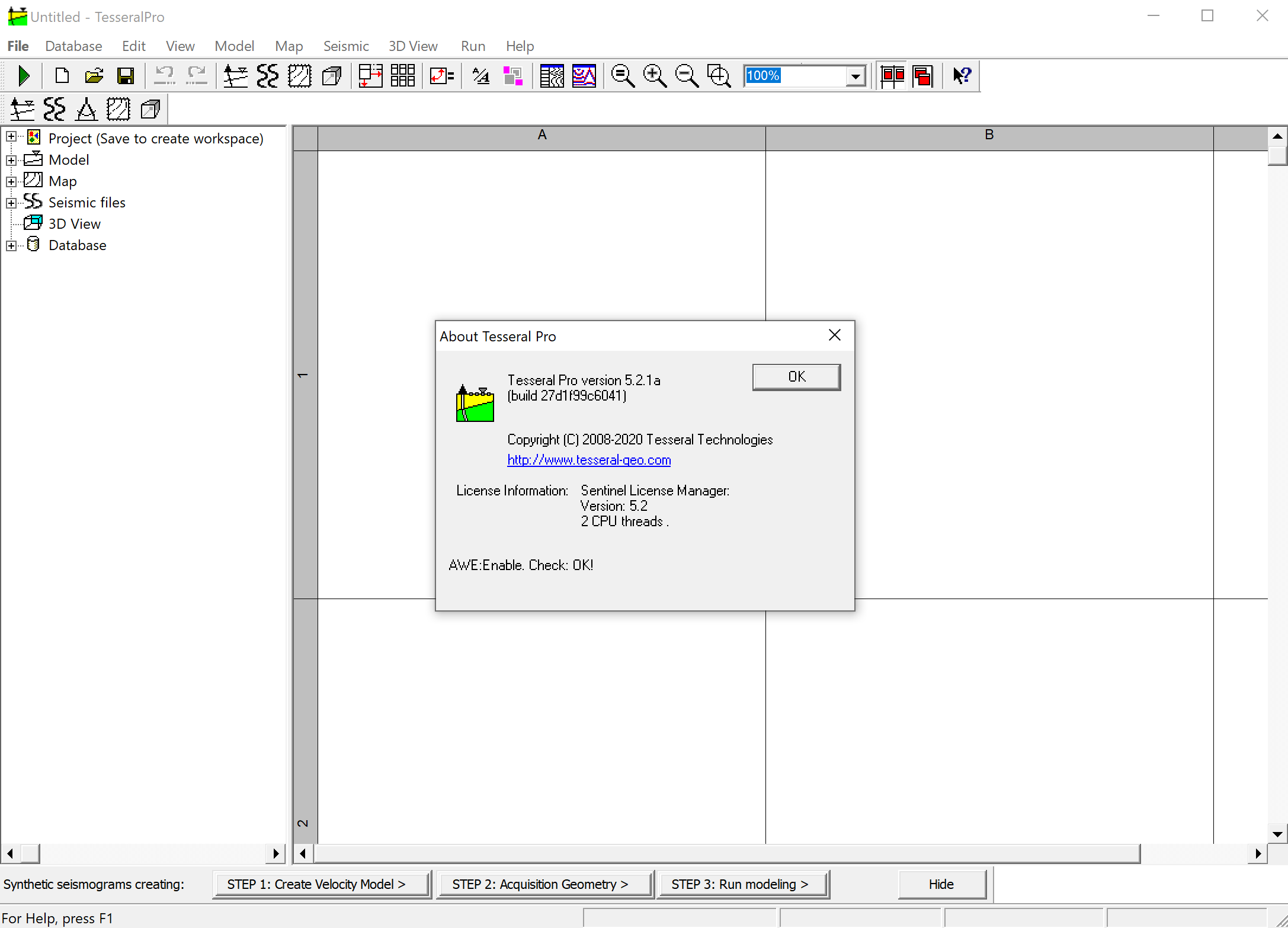
طراحی عملیات لرزه نگاری | Tesseral Pro 5.2.1a

Tesseral Pro is a professional software which extends Tesseral 2D for enterprise level application. It proposes additional tools such as 3D survey planning, 3D modeling and elementary 3D processing intended to interactive analysis of deposit exploration operations using geological/geophysical database.
The software allows designing multicomponent depth models from well log data, horizon maps, seismic velocity cubes then synthesing shotgathers and supplementary data by 1D, 2D, 2.5D and 3D methods, computing fold and illumination maps for target objects, etc. Tesseral Pro enables the creation of thin-layered models capable of high precision and modeling feasibility. Along with well log data, the user can enter additional data such as: well's coordinates and inclinometry, stratigraphic arrangements, fault information, horizon maps etc.
5.2.1 Minor feature release
Improvements:
1) Model frame:
– in the menu command ‘Model > Load Model’, it is now possible to import polygons from TAM, or another model format (except TPA) into the selected model frame instead of a new model frame creation
– in the menu command ‘Model > Export to Tesseral-2D format (TAM, TXT)є, an additional export format ‘Surfer text grid (*.grd)’ is implemented. It is a text grid format of combined models for subsequent loading into other programs. The same command is duplicated in the menu ‘Run > Model Frame’. Different components of a model are saved to separate GRD files with the appropriate filename suffixes
2) 3D View frame: improved (speeded up) the visualization of regular but rotated SEGY-cubes (such as velocity models and migration results). The cubes can by incomplete, with holes and other violations of regularity but need a common grid with a constant step
Fixed Bugs:
3) fixed bugs in the menu command ‘Run > Velocity Model > 3D Interpolation’ for cube regularization. The command is used, in particular, to convert non-regular (composite) velocity and migrated cubes into regular SEGY cubes, bringing them to a single correctly rotated grid with a constant step for subsequent visualization in the 3D-View frame
4) fixed a bug in the processing of specified coordinates in the command ‘Run > General Purpose Procedures > Cut out Cube/Section'
تیم PetroTools آخرین نسخه این نرم افزار را برای شما ارائه می دهد. جهت تهیه نرم افزار با استفاده از منوی خرید با ما در تماس باشید
For buy software, Please contact us via buy menu


 O-Sense
