

 O-Sense
مدل سازی زمین شناسی | Geoscience ANALYST Pro Geophysics 4.2
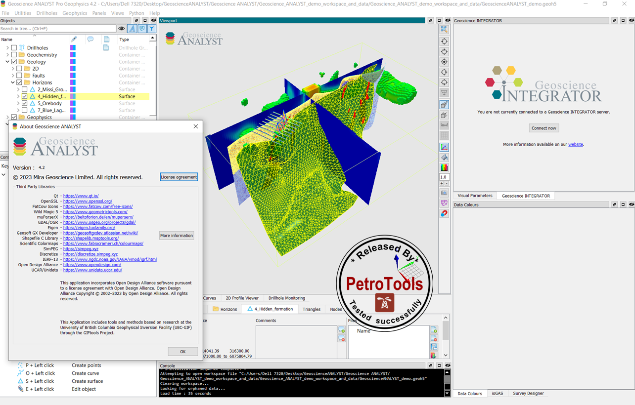
Geoscience ANALYST is Mira Geoscience's 3D visualization and communication software for integrated, multidisciplinary earth models and data sets. Geoscience ANALYST is a unique standalone application allowing you to import 3D geoscientific data and models from standard industry formats, and to change visual parameters to perform contextual queries of data attached to any object. This release includes an extended range of import and export filters that enable better interoperability. It also includes extended 2D Cross Plot functionality for enhanced visualization, as well as other enhancements that empower our users to produce more relevant outputs.

We are releasing new functionality for each of our software applications within Geoscience ANALYST:
Geoscience ANALYST free viewer has four new import filters, allows direct import into a nominated object folder and has extended the functionality of the 2D Cross Plot Panel .
Geoscience ANALYST Pro now supports the export of DXF and OMF files, as well as the creation of octree grids. Partial GEOH5 workspace files can be imported from Geoscience INTEGRATOR, our 4D multi-disciplinary data management platform.
Geoscience ANALYST Pro Geophysics now includes TdOctree and E3D version 2.
Is this your first time using Geoscience ANALYST? Make sure to have a look at the user guide included in the Help menu, visit our YouTube channel or check out some tips on our website. You can also sign up for our email communications to stay abreast of new features and developments.
New and updated functionalities
Geoscience ANALYST free viewer
Import upgrades:
Open Mining Format (OMF) files can now be imported
Import directly to a base folder in the object tree by right clicking on a container group in the object tree to access all available importers
Oasis montaj’s “crooked sections” are now imported to a Draped Model object
Multiple ASCII files with matching field names can be imported consecutively when multi-selected through the Importer menu
netCDF vector and raster data can now be imported
UBC-GIF 2D DC/IP mesh and model files as Draped Model can now be imported
2D Cross Plot Panel extended functionality is now available
Colour points by a nominated property
Supports datetime data on the X-axis
Displays regression lines
Option to show only data and statistics within a Boolean masking property
Geoscience ANALYST Pro
Export upgrades
AutoCAD DXF format (points, curves, and surfaces) can now be exported
Points, curves, surfaces, 2D grids, Block Models can now be exported to Open Mining Format (OMF)
Geoscience ANALYST Pro Geophysics
Draped Models can be exported to UBC-GIF 2D DC/IP format
TdOctree version 2 has been implemented
E3D version 2 has been implemented
SimPEG-Geoapps has been updated to 0.10.0 with an improved interface
A new utility to convert EM data units has been introduced
Wave file creation and VPem1D now support the creation of a 100% duty cycle waveform
VPmg uncertainties can now be set to a floor or per datum
Interaction with HPC environments has been improved and a new server dialog has been provided
Individual gravity gradiometry components can be chosen for forward modelling
Geoscience INTEGRATOR
Retrieve a partial GEOH5 workspace file based on a custom bounding box
Download files and maps associated to multiple drillholes at once
“Group names” have been renamed “Subsets” in all points-type themes
New theme called “Models” under the Models, maps, and sections for models and compilations
تیم PetroTools آخرین نسخه این نرم افزار را برای شما ارائه می دهد. جهت تهیه نرم افزار با استفاده از منوی خرید با ما در تماس باشید
For buy software, Please contact us via buy menu