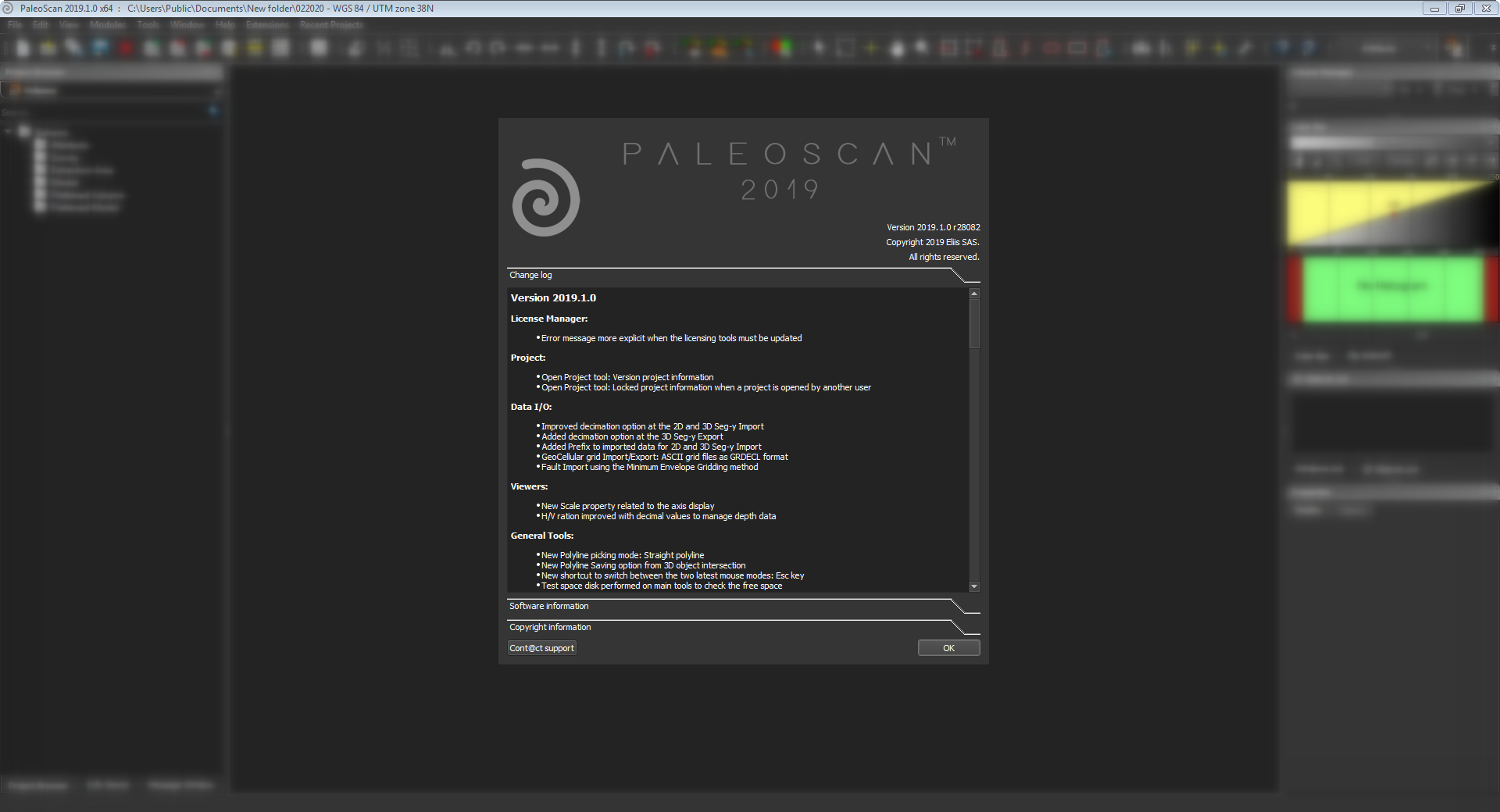
تفسیر اطلاعات لرزه ای | PaleoScan 2019.1.1

نرم افزارPaleoScanمحصول شرکت Eliisفرانسه نرم افزاری جدید برای تفسیر سه بعدی سایزمیک به حساب می آید و کمک شایانی به زمین شناسان برای ساخت مدل سه بعدی میدان می کند. این نرم افزار شامل تمامی ابزار های مورد نیاز جهت تفسیر کامل اطلاعات از اجرای آنها تا تهیه افق ها، گسل ها و شناخت ژئوبادی به صورت 2 بعدی و 3 بعدی را دارا می باشد. یکی از قابلیت های خاص این نرم افزار تهیهchrono-stratigraphic framework برای تحقیق در زمینه ارتباط بین شرایط چینه ای و سنگی میدان می باشد.
بررسی نرم افزار PaleoScan:

PaleoScan™ Core is the new generation of 2D/3D seismic interpretation platform. It includes all the necessary tools to run a comprehensive workflow, from data loading to generation of interpreted objects in a user-friendly environment, offering rapid data screening and cross navigation. PaleoScan™ offers a comprehensive approach to semi-automatically interpret seismic volumes, in addition to the standard interpretation tools for horizons, faults and multi-Z objects. Thanks to powerful editing tools, the interpretation can be refined and the geological model can be previewed in real time. A suite of applications allows:
- Computing a large panel of attributes (spectral decomposition, etc.)
- Generating a large number of horizons, the stratal-slicing of volumes
- Extracting and quantifying geobodies
- Interpreting, enhancing and characterizing faults & fractures
- Cross correlating wells and markers and log types.
PaleoScan™ takes also advantage of parallel computing with the latest multi-core technologies.

PaleoScan™ add-on modules propose a suite of applications derived from the geological model but also based on quantitative interpretation.
The Advanced Interpretation module builds a chronostratigraphic framework to transform seismic data in the Wheeler domain, to delineate stratigraphic sequences, automatically extract geobodies and build interactively a watertight model for geomodeling applications. Color blending tools, combined with spectral decomposition, are available to characterize sedimentary deposits as well as structural event through volumes and horizons.
The Time-Depth module includes all the standards tools to perform seismic to well tie (sonic calibration, wavelet extraction and synthetic seismogram generation), with a forward modeling workflow to compute a synthetic model in real time for better constraining such a complex process. It offers an interactive velocity model generation and depth conversion tools.
The Properties Modeling module offers in a very interactive environment various methods to rock type information coming from the well/logs within the model, from the simple interpolation to more complex kriging techniques, and therefore to precisely predict rock physics property distribution.
تیم PetroTools آخرین نسخه این نرم افزار را برای شما ارائه می دهد. جهت تهیه نرم افزار با استفاده از منوی خرید با ما در تماس باشید
For buy software, Please contact us via buy menu
menu


 O-Sense