نرم افزار جامع سایزمیک | S&P Global Kingdom 2023

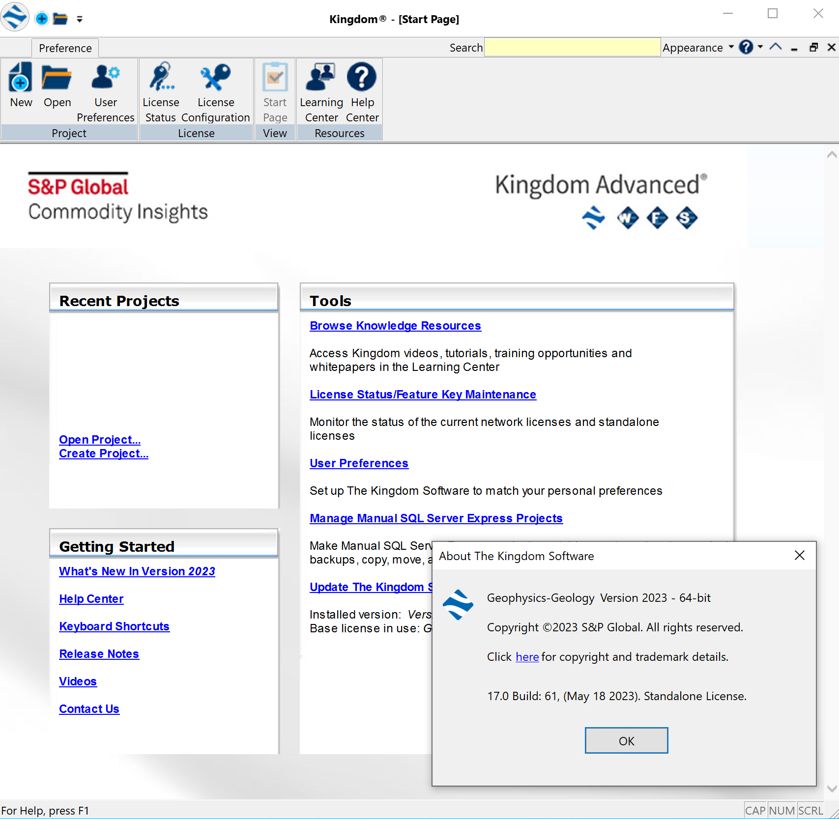
Even though the world of oil and gas has become more complex, your software does not have to be. S&P Global ingdom™ 2023 integrates geoscience, geophysics and engineering into a single, easy-to-use software solution, enabling asset teams to make confident and faster decisions from exploration to completion. Our solutions are simplified, giving you access to advanced geoscience/scientific tools that are affordable, easy to learn and install and come with excellent support and training. Optimized for unconventional, conventional and deep water plays, Kingdom helps you assess the potential of regional geologic trends or discover where assets are underperforming, all within a singular, cost effective and easy to learn environment.
Kingdom 2023 (May 30, 2023) Overview
Advancing fundamental workflows
• Visualize and explore Dynamic Property Model properties in 3D
• New Kingdom Data Transfer options and data types
• Elevated cross section navigation
• Spatial Explorer: broadening map display customizations
• Automated boulder picking and interactive faults
• Microseismic is 100x faster to help complete workflows quicker
• Interpret and map control point sets in time domain
The following enhancements and new features are included in Kingdom 2023:
Geology:
Section enhancements
Focus on geological workflows
• Drag and drop curves between tracks
• Section to support well template depth lattice in MD, TVD, TVDSS
• Display Depth Ticks for Logs in TVD when in TVD mode
• Scale bar position options
• Option to hide wells without a top when flattening
• Pan/Scroll with Arrow Keys
• Consolidated toolbar (no automatic wrapping)
• Open other authors saved sessions Collaboration
Collaboration—Sharing aliases and re-ordering author priority
• Generate results with only selected author’s formation tops
o Cross section and map displays
o Dynamic depth and property models
o Grids
o Zone attributes
• Log alias from another Author
o Formation top interpretation
o Dynamic Property Models
o Zone attributes
o Synthetic generation
• Formation to alias from another author
Gridding and compute improvements
• Restrict grid data to a specific range (min/max). Ignore data that falls outside range.
• Gridding with quality code(s): Filter codes to include/exclude in gridding
• Grid formation top and fault cut TVD values
• Support for Time control point sets.
Base Map
• Easily re-order polygons within a culture group to get the displays you require: Top | Bottom | Move up | Move down
• Rulers are author-specific to allow each interpreter their own saved set
Display dynamic property models in 3D
• Greater understanding of geologic properties in 3D
• Validate structural and property interpretation
• Compare interpretation scenarios dynamically
Spatial Explorer
Thematic map support for text zone attributes
Create comprehensive maps with all the data available in your project
Decimal control for posted zone attributes
Customize the way your labels display on maps and prints
• Control decimal values at different levels
• Settings are applied per author
• Save and share templates from these decimal options
• Merge or overwrite incoming settings
Save and load templates from different display settings
Easily reproduce and share maps by sharing templates for:
• Well symbol tab
• Well layer display properties
• Data posted on deviation surveys
• Deviation survey layer Improved contour label display Display and print contour labels Add custom symbols from files
Improve the way your point data is represented on a map and print
• Use an array of symbols available through our library
• Import your own symbols
• Improve the way you represent your point data
• Imported symbols are available on a project level
Concatenate multiple labels on the same line
Adjust displayed labels to your needs
• Display multiple labels on the same line
• Concatenate labels along deviation survey lines
• Concatenate labels posted around well spots
Customize displays from interval data along deviated boreholes
Filter using the full array of your interval data
• Use text and numeric values stored in your interval data tab to create displays
• Filter through the user interface
• Apply display settings of your preference
• Display on map or print interval data along deviated boreholes
Launch Spatial Explorer with different Kingdom startup options
• Show only previous base map:
o Check box ON: Load new map
o Check box OFF: Don’t Load SE
o Load SE maps that were open when TKS was Closed
• Show all previous windows:
o Load SE maps that were open when TKS was Closed
• Select a session:
o Save SE maps with TKS session
o Load SE maps that were open when TKS was Closed
Geophysics
Microseismic performance improvements
Microseismic is now 100x faster to display for faster workflows and analysis of more data Substantial performance improvements in:
• data loading
• event display in map, section, 3D
• filtering, sub setting, calculations
• Color bar changes or editing
Improved user experience:
• TIMESTAMP filter now shows date/time
• Uses Kingdom default colorbar location
• Improved extract data type and TD chart results
• Improved general filter type-in behavior
Seismic interpretation
Control points - quickly mark anomalies and shape interpretation
• Interpret control points in time and depth
• Shape surfaces using control points (Gridding and DDC)
• Move and update results
Hot Key to Select Tracking Direction on Sections: 2D Hunt an 2D Seeker+
Depth conversion with a sloping reflection datum
• Used when time 0 is at a variable depth along a 2D or 3D survey
• Used when near surface statics or tides have impact on depth conversion accuracy
• New option to enter the depth grid for the reflection datum in Dynamic-Depth-Conversion
Interactive faults and boulders
ML Attributes now allows for calculations on 2D seismic data
• Select 2D at the beginning of the workflow
Batch 2D processing in ML Attributes by multiselect or survey subsets
• Multiselect—select the surveys you want from a list, and a common datatype
• Survey subset—create a survey subset through Geophysics > Surveys > Other, and create a subset by query, list or graphically.
Interactive CNN
• CUDA upgrade to version 11
o The upgrade to CUDA 11 allows the use of the newest graphics cards from Nvidia and comes with a performance boost
o Backward compatible all the way to compute capability 3.5
Interactive CNN Boulders
• Batch processing and interactive prediction of boulders in unmigrated 2D seismic data for windfarms.
Interactive Faults CNN
Use existing faults
• You can now use existing Fault segments in the ICNN. By selecting the check box next to model selection. ICNN will import all selected faults in the project inventory. In order to manage faults efficiently subfolders may also be used.
• The faults will be listed under the Training Pool tab on the third page of the ICNN. These faults will behave as normal and can be deleted or edited without changing the original segment.
Additional color options
• Added options for prediction color and opacity allowing for more control and better visualization of the predictions during interactive training Interactive CNN boulders
Enhancements in model and training pool management
• Added the ability to rename or delete existing models
• The training pool tied to that model will also subsequently be renamed or deleted
Data Management
Kingdom Data Transfer
Greater control on project update
• Transfer digital logs by source
• Select horizon attributes to move
• Choose fault polygons to transfer
• Option to overwrite well header data
• Select TD chart by name or local vs shared
Kingdom Petrophysics Log Alias
Use Kingdom Log Alias for Petrophysical workflows
• Create aliases in Kingdom that match the alias names that Kingdom Petrophysics requires
• Write alias from Kingdom into Kingdom Petrophysics for seamless application of petrophysical workflows.
Log Computes Statistics
Option to overwrite existing zone attributes when criteria is “not” for a valid statistic instead of ignoring them:
• Replace with Null
• Replace with Zero
Raster digitization editing
Ability to pause work and resume editing.
• New option to save digitizing work and continue editing after exiting out of raster tab or closing project
• Available in manual or auto-digitization mode
• Updated CUDA libraries to accommodate new graphics cards for using GPU with auto-trace
• Scales must be redefined when reopening the raster log for continued edits.
3-point and 2-point deviation surveys
Auto-creation of deviation survey for non-vertical wells
• Option added to create a 3-point deviation survey in Well ASCII import
• Options to create 2 or 3-point deviation survey in Project > Create Well
VelPAK
Usability
• In Preferences, you can now turn off the Reporting feature unless you want it on. This speeds up general Velit/VelPAK processes. If you request a report and this feature is turned off, an alert will notify you.
• Numerous tool tips have been added for improved usability.
Velocity module
• New Volume Extractor - will extract grids from a SEGY file and place them in the VelPAK model Model
Tree under the ‘System’ slots.
• Enter a SEGY file and extract Average or Interval Velocity, depth or ‘Other’ grids into the Velit/VelPAK
model Model Tree, based on the Time grids within the model
• Calibration wizard help page can now be resized
Surface module
Color Bar Flip option: new option to flip any color table provided in Velit/VelPAK. This option creates a new
color table called ‘Colour Table XXX Flipped’.
Surface module and Wizard enhancements
Option for Gaussian distribution of random numbers has been added on Surface -> Grid and Workflow which gives you the option of producing uniform random values or random values based on a Gaussian (bell jar) distribution.
Workflow User options
Multiple Realization Parameters for Workflows:
• Select this option to run a constant value through multiple realizations . It gives you the option of producing uniform random values or random values based on a gaussian (bell jar) distribution.
o Base: The starting value for you multiple realisation of a constant value
o Range: The values will realise +/- this value.
Wizard
Run Combinations
• Batch mode has been added allowing any number of CPUs on the PC (or indeed on the network) to be utilized. This has significantly speeded up the process.
• Smoothing moving average has been changed from 5 to +/- 1
• Column summary now added to combinations and ability to ‘Save AS Excel’ now for combinations data and summary tables.
• Combinations Abort button now works.
Seismic Inversion
Colored Inversion
• Extended inversion to acoustic impedance (AI), shear impedance (SI), density and elastic impedance (EEI)
• Added a new utility to generate relative EEI from acoustic and gradient impedance with well controls
• Now consider well deviation at all steps of inversion
• Generate statistical wavelets to be used in SA inversion
• Support inversion of high-frequency Windfarm seismic data
EEI Inversion
A new inversion model has been added for Extended Elastic Inversion (EEI). This new model:
• Outputs absolute and relative EEI and synthetic seismic data
• Converts acoustic and gradient impedance to EEI
• Scales EEI to reservoir properties such as GR and porosity
Hidef Model Building
• Build Vp, Vs and density models using logs, seismic velocity and horizons
• Generate AI, SI and EEI models from Vp, Vs and density models for pre-stack inversion
• Quality control Hidef models using well logs
Bug Fixes
Service packs and hot fixes are tested before release, but as always, we highly recommend that you back up your projects before updating Kingdom. Kingdom updates are inclusive and incorporate all fixes from previous updates.
تیم PetroTools آخرین نسخه این نرم افزار را برای شما ارائه می دهد. جهت تهیه نرم افزار با استفاده از منوی خرید با ما در تماس باشید
For buy software, Please contact us via buy menu


 O-Sense
