بررسی اتریبوت های خاص | PaleoScan 2021.1.1

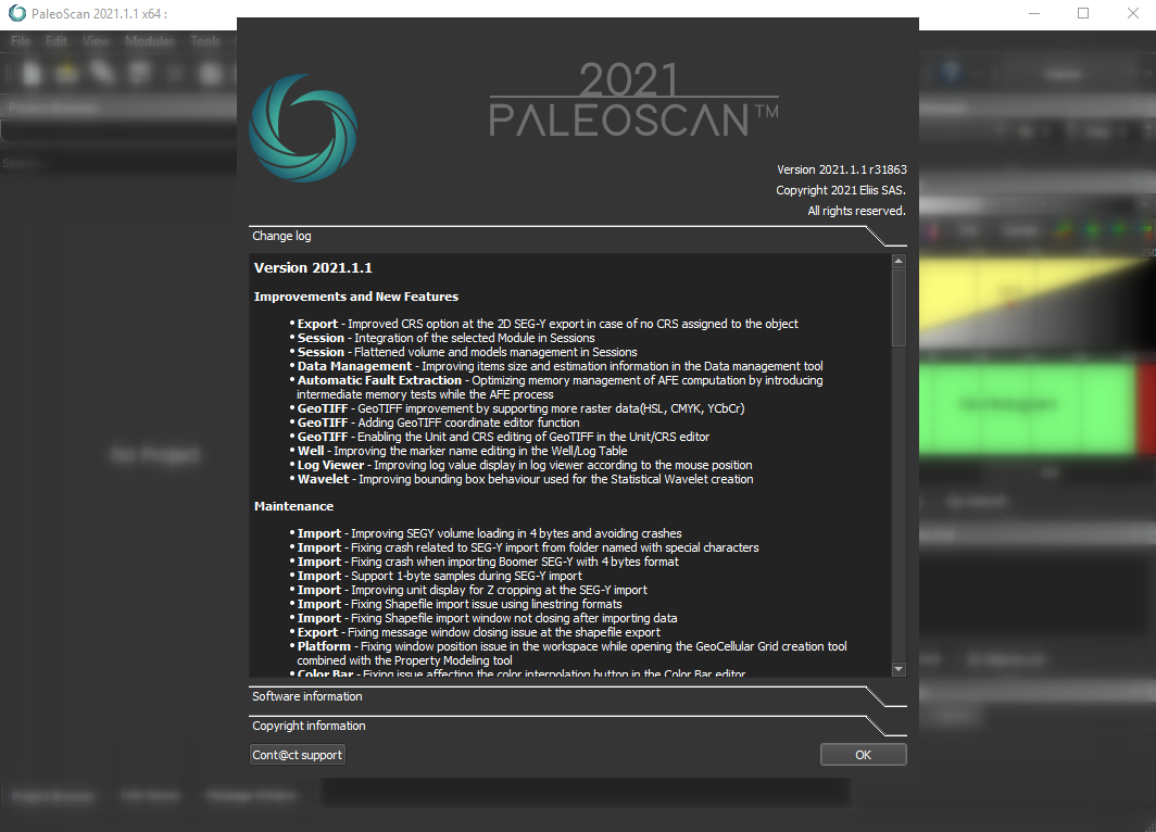
PaleoScan™ 2021 is a new generation of 3D seismic interpretation software that allows geoscientists build a geological model while interpreting seismic volumes. With this new release, Eliis continues to innovate seismic interpretation with more tools to interpret larger seismic data sets with added speed and precision. We also introduce advancements in the 2D workflow, to create a 3D Geo-Model from 2D lines interpretation.
The 2021 release brings more options to complete the workflow from exploration to reservoir characterization, with a suite of various applicative modules in geology (sequence stratigraphy, structural interpretation, geobodies extraction) and quantitative interpretation (properties modeling, colored inversion, seismic to well tie and time-depth conversion). It also offers functionalities in spectral decomposition and color blending. Parallel computing has also been upgraded with the latest multi core technologies.
The core technology proposes a global approach to optimize the interpretation process and ensure the geological consistency at different scales. This methodology and workflow help interpreters to quickly understand the regional geology as well as reservoir detection.
The traditional workflow in seismic interpretation consists in tracking a set of horizons to obtain a geological model. Unlike such methods, based only on local analysis of the signal, PaleoScan™ is based on a comprehensive approach. It uses optimization algorithms to correlate the seismic traces and at the same time, build a geological model. The latter can be then refined by inserting or modifying discontinuity and continuity constraints such as faults or manually picked horizons.

With various interactive tools, interpreters can then quickly converge towards an optimum 3D model with a high level of accuracy and precision.
Once generated, the 3D Geo-Model proposes various applications, as summarized below:
• Computation of new attributes
• 3D horizons modelling
• Identification of geological targets (geo-bodies)
• Fault Enhancement
• Well correlation
The newly implemented 2D line interpretation workflow enables the user to apply the same processes on 2D data.
In this 2021 version, the most noticeable new features are:
• An AVO analysis is available,
• The Extended Elastic Impedance (EEI) workflow is available,
• The Least Squares inversion method is available,
• The RESQML.v2 format is available for the GeoCellular Grid export,
• The Sessions are more robust and have been completed.
تیم PetroTools آخرین نسخه این نرم افزار را برای شما ارائه می دهد. جهت تهیه نرم افزار با استفاده از منوی خرید با ما در تماس باشید
For buy software, Please contact us via buy menu


 O-Sense
