نرم افزار WinGLink یک نرم افزار مولتی دیسیپلین برای پردازش و ترکیب چندین دیسیپلین ژئوفیزیکی در یک مدل تفسیری بی همتا می باشد. این نرم افزار در گام اول بر روی اطلاعات مگنتوتلوریک (Magnetotelluric) و مدل سازیبر اساس استانداردهای جهانی فوکوس کرده است. WinGLink شامل پردازش و مدل سازی اطلاعات گراویته و مگنتیک و همچنین توانایی ارسال اطلاعات از چاه های عمودی و جهت دار بر روی نقشه و مقاطع عرضی جهت ساخت مدل ها می باشد. این نرم افزار از اینترفیسی آسان و ساده بر اساس ساخت دیتا بیس، تبدیل مختصات، دریافت خروجی و ورود اطلاعات و مدل ها و غیره تشکیل شده است.
بررسی نرم افزار WinGLink:

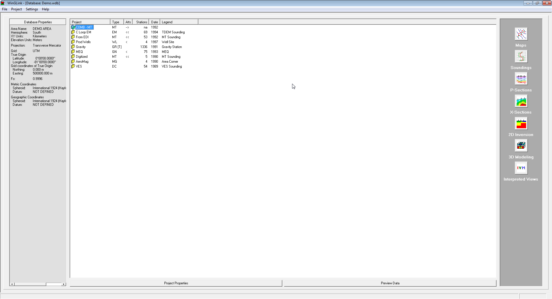
WinGLink is a multidisciplinary software program developed to process, interpret and integrate several geophysical disciplines in a unique interpretation model.
Primarily focused on Magnetotelluric data processing and modeling, for which it is the recognized worldwide standard, WinGLink includes processing and modeling applications for gravity and magnetic data, as well as the capability to post information from vertical or deviated wells on maps and cross-sections to add model constraints.
WinGLink uses a common graphic interface for database creation, project generation, coordinate conversion, data and model import/export, launch of applications. Each application includes dedicated features for each geophysical data type.


Follow the links below for details of additional WinGLink utilities.
Maps
A multidisciplinary software program developed to process, interpret and integrate several geophysical disciplines in a unique interpretation model.
Soundings
A multidisciplinary software program developed to process, interpret and integrate several geophysical disciplines in a unique interpretation model.
P-Sections
A multidisciplinary software program developed to process, interpret and integrate several geophysical disciplines in a unique interpretation model.
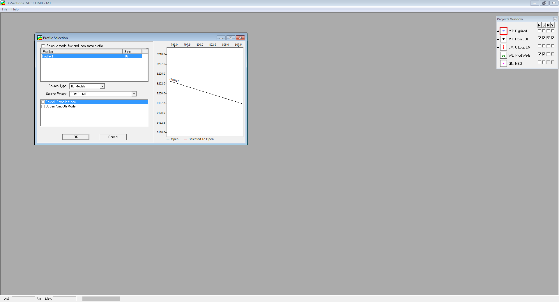
X-Sections
A multidisciplinary software program developed to process, interpret and integrate several geophysical disciplines in a unique interpretation model.
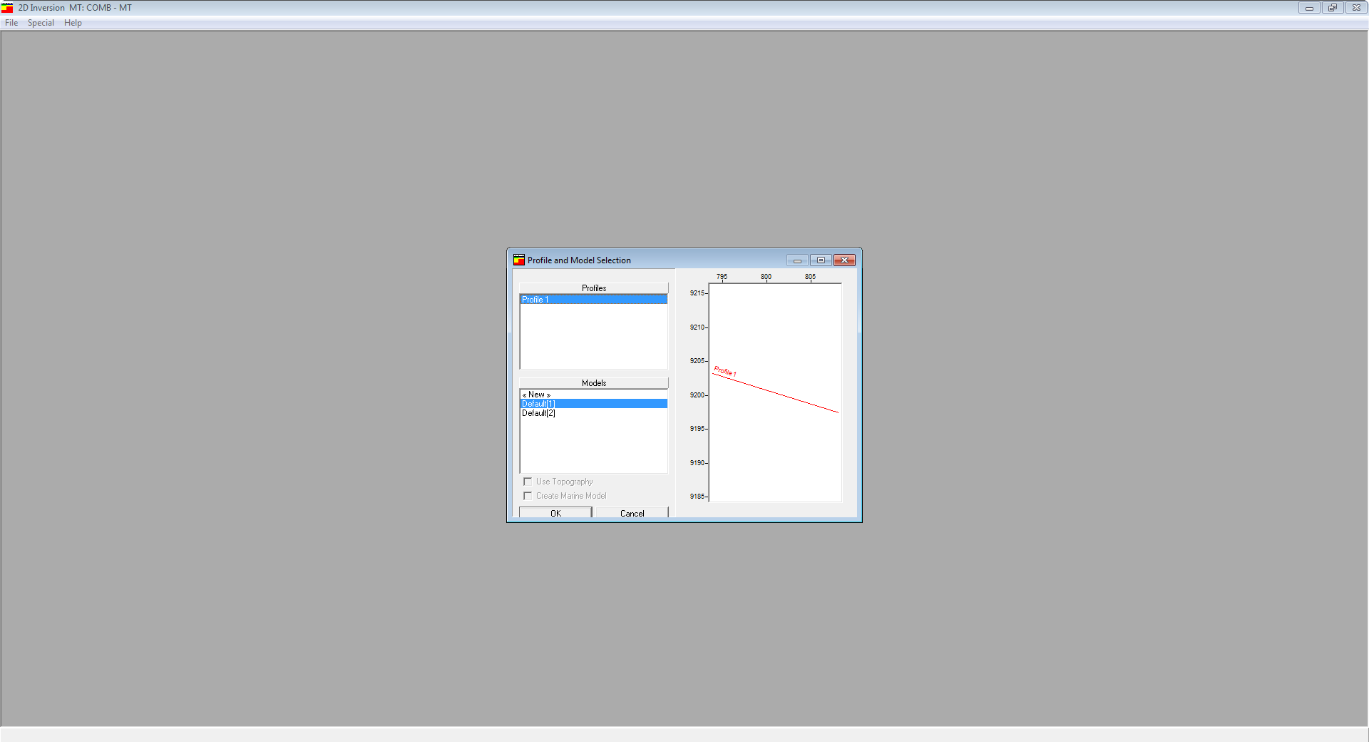
2D Inversion
A multidisciplinary software program developed to process, interpret and integrate several geophysical disciplines in a unique interpretation model.
3D Modeling
A multidisciplinary software program developed to process, interpret and integrate several geophysical disciplines in a unique interpretation model.
Interpreted Views
A multidisciplinary software program developed to process, interpret and integrate several geophysical disciplines in a unique interpretation model.
Tools
A multidisciplinary software program developed to process, interpret and integrate several geophysical disciplines in a unique interpretation model.
A WinGLink license supports diverse geophysical disciplines in an integrated modular package.
تیم PetroTools این نرم افزار را برای شما ارائه می دهد. جهت تهیه نرم افزار با استفاده از منوی خرید با ما در تماس باشید
For buy software, Please contact us via buy menu


 O-Sense