• VISAGE 2013

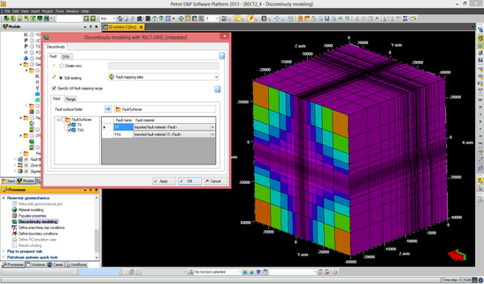
    VISAGE 2013

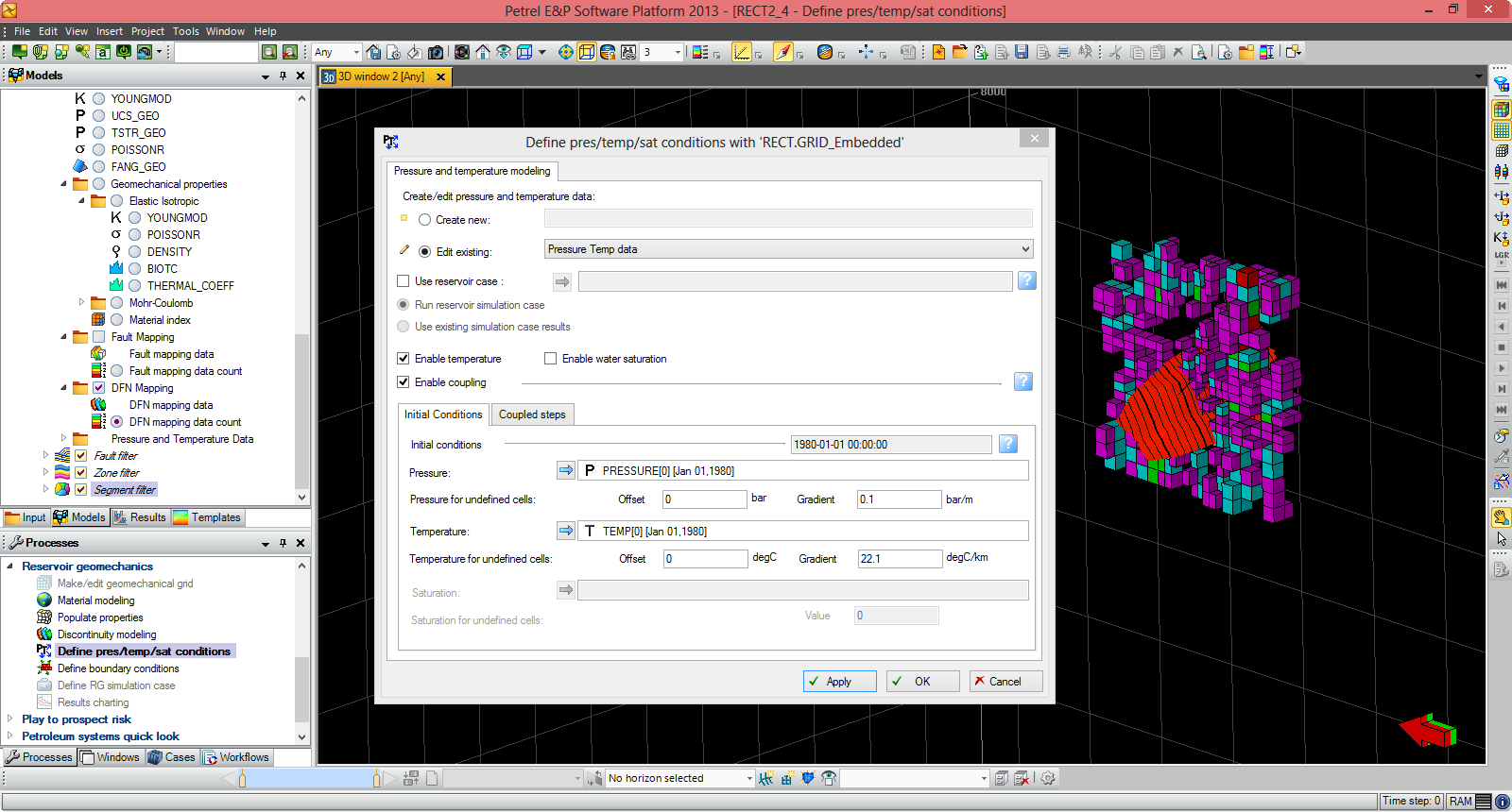
    نرم افزار المان محدود Visageمحصول شرکت Schlumbergerیکی از نرم افزار معروف شبیه سازی ژئومکانیکی مخازن به حساب می آید. با توجه روز افزون به بیشتر
  • Landmark EDT 5000.14

    Landmark EDT 5000.14

    نرم افزار Landmark EDT توسط شرکت هالیبرتون طراحی شده است که بطور گسترده ای در صنایع بالادستی نفت مورد استفاده قرار می گردد. برای بیشتر
  • Tesseral 3D 5.0.3

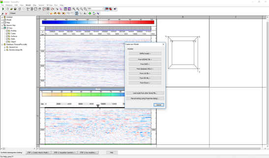
    Tesseral 3D 5.0.3

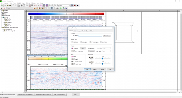
    نرم افزار Tesseralمحصول Tesseral Technologies Inc نرم افزار بسیار دقیق جهت Full wave field modeling می باشد. بر اساس مدل دیجیتال یک ساختمان پیچیده زمین شناسی، supplementing blocksراه حل بیشتر
  • Cyclolog 2016

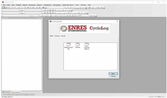
    Cyclolog 2016

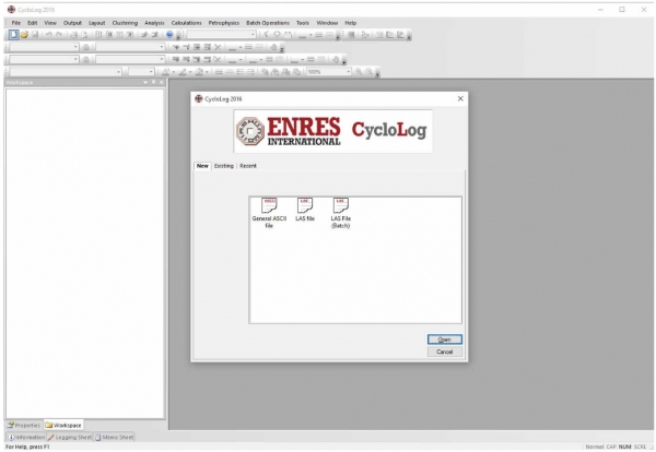
    نرم افزار Cyclologپکیجی کامل از ابزارها را برای نمایش، آنالیز، تفسیر و پلات نمودارهای پتروفیزیکی را برای زمین شناسان نفت برای سکانس استراتیگرافی بیشتر
  • Drilling Office x (DOX) 2.10

    Drilling Office x (DOX) 2.10

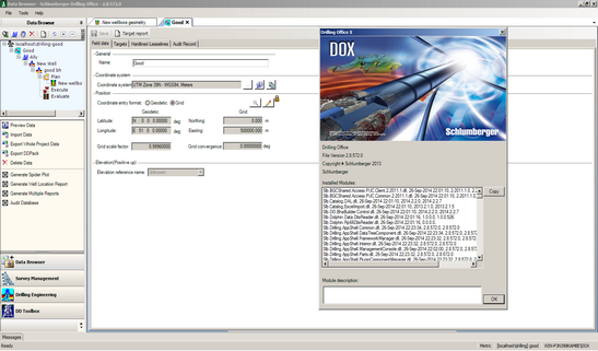
    نرم افزارDrilling Office Xکه به اختصار به آنDOXمی گویند، مجموعه ای جامعی برای مهندسان حفاری می باشد که به کمک آن می بیشتر
  • PIE Well-Test Analysis 2016

    PIE Well-Test Analysis 2016

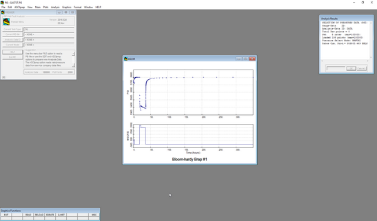
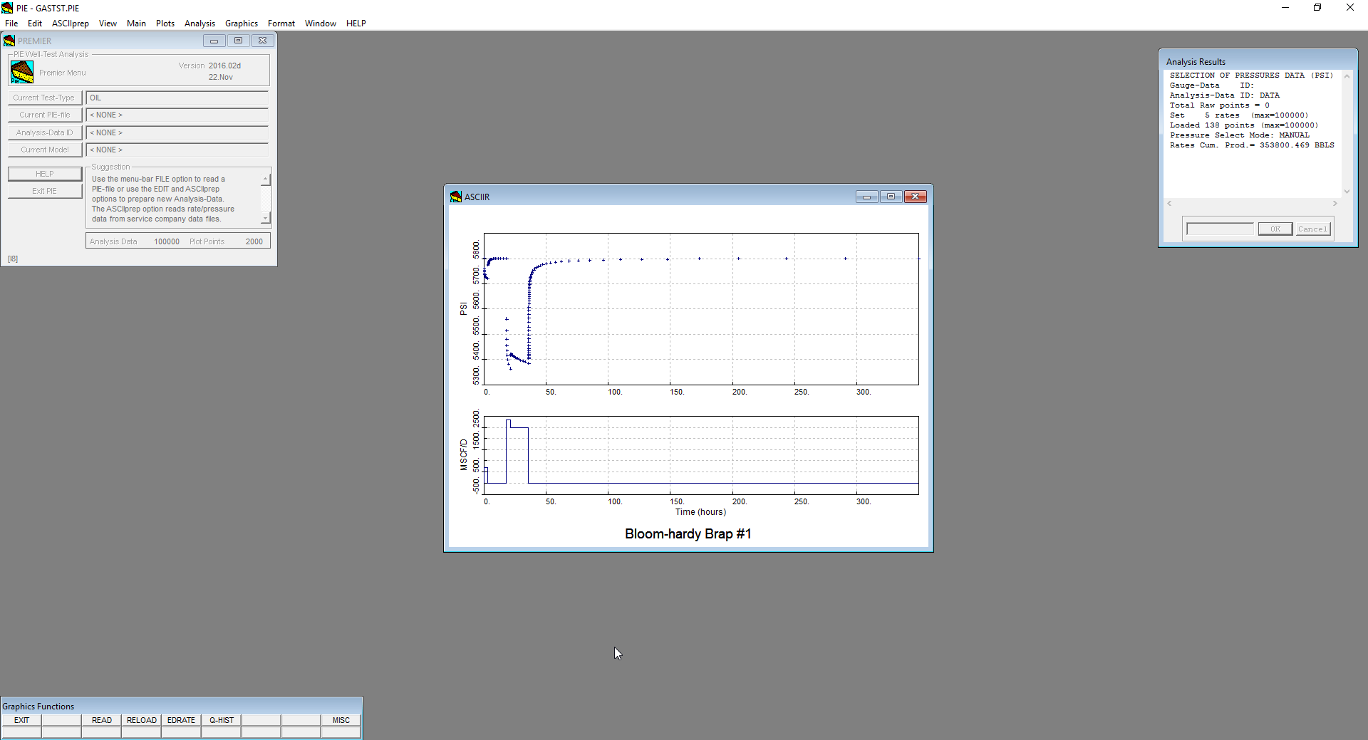
    نرم افزار PIE well-test analysis پکیجی کامل برای تفسیر و ویرایش اطلاعات تست هایPressure Transientدرچاه های گازی و نفتی می باشد.  توسط نرم افزار PIEشما بیشتر
  • 1
  • 2
  • 3
  • 4
  • 5
  • 6

مدیریت اطلاعات، مدل سازی و نقشه برداری | Petrosys 17.7 SP2

ارسال در مدل سازی زمین شناسی

Petrosys is the leader in mapping, modeling and data management solutions for the oil & gas industry – uniquely integrated with the broadest range of specialist geoscience and GIS applications. Petrosys produces quality maps and visualizations. It aggregates, manages and analyzes the underlying data – for actionable results that communicate with clarity and accuracy. Petrosys is the industry leader in mapping, surface modeling and data management software solutions – delivering direct connectivity with the E&P industry’s most popular exploration, production and GIS data sources. Petrosys produces high quality maps and surface models. It manages, edits, and analyses the underlying information including the specialised seismic, well and geoscience data used in the search for oil and gas. Geoscientists, data managers and engineers at more than 300 sites worldwide use Petrosys software as an essential tool for basin and field interpretation, to enhance enterprise data management and to help make better decisions.

پردازش اطلاعات لرزه ای | Globe Claritas 6.5.1

ارسال در لرزه نگاری

Globe Claritasis a sophisticated software package for 2D and 3D land and marine seismic data processing. Designed for maximum flexibility, it gives you a no-constraints enabling layer for seismic data processing, developed over 20 years by GNS Science, New Zealand's premier geoscience provider. We offer a cost effective software solution for when it comes to creating or growing your seismic data processing capabilities. Comprehensive tutorials and user-focused support information ensure that your team can rapidly start applying their geophysical knowledge. The low installation footprint allows flexible hardware specifications to suit your needs. Our flexible licensing is designed to provide your business with the processing capacity you need, when you need it. Lease licenses on a project-by-project basis, add extra users, or upgrade your licence type whenever you require


تفسیر سایزمیک | CGG Hampson-Russell 10.2

ارسال در لرزه نگاری

Hampson Russell Suite محصولی از CGG می باشد که مجموعه ای کاملاً یکپارچه از ابزارهای کاربردی در حوزه ی ژئوفیزیک را فراهم نموده است. این ابزارها برای تفسیر مشخصات مخزن کاربرد دارند ولی در واقع برای تمام جنبه های اکتشافات ژئوفیزیکی و ویژگی های مخزن از وارون سازی و تحلیل AVO گرفته تا تفسیر چند مولفه ای قابل استفاده می باشد. نرم افزارهای HampsonRussell با تفسیرها و آنالیزهای پشرفته ای که فراهم می کنند، باعث می شوند تا قادر به کاهش ریسک ها و هزینه ها باشیم. تولیدکنندگان این نرم افزار بر بکارگیری تکنولوژی خلاقانه، گردش کاری یکپارچه و سهولت استفاده متمرکز بوده اند. فناوری ها و ابزارهای بکار رفته در نسخه ی جدید کمک می کند کمپانی های نفت و گاز قادر باشند ویژگی های سطح زیرین پوسته ی زمین را بهتر شناسایی کنند.


سایزمیک ژئومکانیک | RokDoc 6.4.3

ارسال در لرزه نگاری

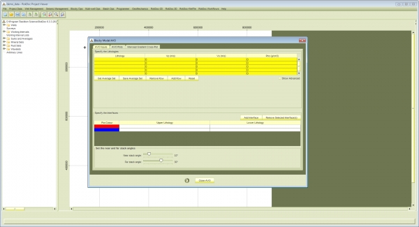
نرم افزارRokDocمحصولIkon Scienceبه عنوان یک نرم افزار اکتشاف کمی و توسعه ای شناخته می شودRocDocیک پلتفرم قوی برای تفسیر کمی جامع(QI)با کاربرد آسان به حساب می آید و اولین گزینه انتخاب شرکت های بزرگ نفتی در پلتفرمQIمحسوب می شود (Survey Aupec 2012). این نرم افزار به متخصصان تفسیر امکان دسترسی به Rock Physics, Forward Modelling, Seismic Inversion, Geopressure, Advanced Quantitative Reservoir Analysis و Geomechanics را فراهم کرده است و همین امر باعث بالابردن قدرت تفسیر متخصصان شده است. هم اکنون این نرم افزار با کمک شرکت سازنده آن یعنیIkon Science و 170 شرکت نفتی بزرگ به سرعت در حال رشد و توسعه می باشد.


ژئومکانیک مخزن هالیبرتون | DrillWorks 5000.8

ارسال در ژئومکانیک مخزن

چالش های حفاری ناشی از Pore Pressureو حوادث بی ثباتی مربوط چاه هزینه ای تقریبا 8 میلیارد دلاری در هر سال برای صنعت نفت دنیا به همراه دارد. نرم افزار ژئومکانیک DrillWorksمحصول شرکت هالیبرتون، به مهندسان زمین شناسی و سایر شاخه های مهندسی نفت این امکان را می دهد که شناختی بهتر از شرایط زیر سطحی زمین پیدا کنند تا از مشکلات حین حفاری و تولید مخرن آگاهی کسب کرده و از هزینه های احتمالی صرف نظر کنند. آنالیز و مدل Pore Pressureو شرایط ژئومکانیکی مخزن جهت شناسایی مشکلات حفاری، کاهش عدم قطعیت و افزایش بهره وری و ایمنی در طراحی حفره چاه و افزایش کارایی بسیار مهم و با اهمیت است. در ادامه مطلب با ما همراه باشید.

طراحی کامپلیشن شلمبرژه | WellBuilder 5.1

ارسال در مهندسی نفت و مخزن

نرم افزار WellBuilderمحصول شرکت Schlumbergerیکی از نرم افزارهای داخلی این شرکت محسوب می شود. این نرم افزار یک نرم افزار استاندارد جهت طراحی کامپلیشن به حساب می آید. این نرم افزار ترکیبی از طراحی، انتخاب و ارزش گزاری ابزار انتخاب شده، ارزیابی هزینه، تهیه گزارش و سفارش کالا می باشد. هدف اصلی نرم افزار WellBuilderساده سازی و استاندارد سازی نمایش کامپلیشن و فرآیند انتخاب ابزار، بهینه سازی رضایت مشتریان طراحی کامپلیشن شرکت Schlumbergerو کاهش زمان مهندسی طراحی چاه می باشد. بعد از بازگشایی نرم افزار، کاربر توسط یه رابط کاربری قدم به قدم به سمت مراحل مختلف راهنمایی می شود.

  • نرم افزار محبوب مدل سازی زمین شناسی | GOCAD 19p4
  • ساخت مدل شکستگی | FracMan 8.0
  • مدل سازی حوضه های هیدروکربنی | PetroMOD 2022.1
  • پلت فرم کامل مهندسی نفت | Petrel 2022.1
  • مدل سازی ساختمانی | Andino 3D 2.0.1.0
  • مدل سازی زمین شناسی | OpenFlow 2022.1
  • ساخت مدل زمین شناسی | Geomodeling 2022
  • مطالعه زمین شناسی ساختمانی | Move 2020
  • مدیریت اطلاعات زمین شناسی | PetroSys 2021.2.4
  • زمین آمار در معدن | ISATIS NEO 2022.04.1

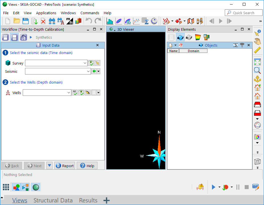
Since 2013, GOCAD™ and SKUA™ have been merged into one application, which is now available either as a standalone configuration or running on Epos™. Projects from both GOCAD and SKUA can be loaded into the SKUA-GOCAD™ application, and SKUA and GOCAD workflows can be shared. GOCAD has led the industry for over 20 years in providing the most advanced capabilities for seismic, geological and reservoir modeling. Fully integrated and multi-disciplinary, GOCAD produces accurate results, resulting in more reliable reservoir predictions.

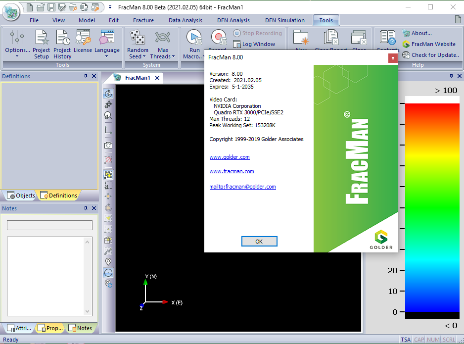


Launched in 1987, FracMan® is the world’s first commercially available Discrete Fracture Network (DFN) software and has since been adopted by organizations across the infrastructure, mining, energy, power, and nuclear waste sectors.  FracMan® Version 8 brings improvements such as new DFN simulation features and enhanced model visualization.

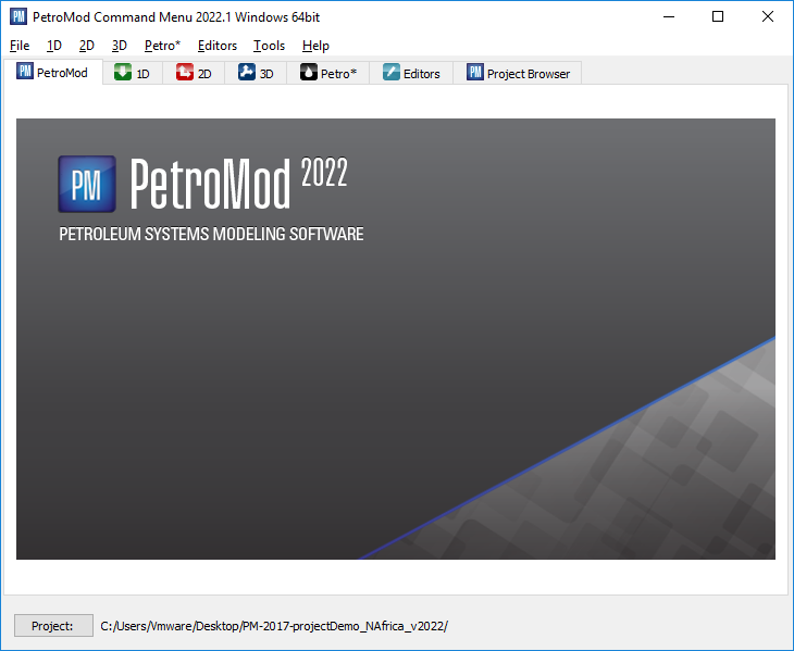


PetroMod 2022.1 petroleum systems modeling software combines seismic, well, and geological information to model the evolution of a sedimentary basin. The software predicts if, and how, a reservoir has been charged with hydrocarbons, including the source and timing of hydrocarbon generation, migration routes, quantities, and hydrocarbon type in the subsurface or at surface conditions.

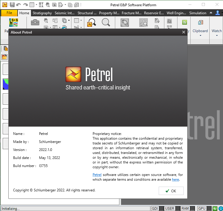


Finding, characterizing, and exploiting new and existing reservoirs is increasingly complex. To overcome these challenges, we must continually improve and innovate the way we work. With the Petrel E&P Software Platform, Schlumberger revolutionized the oil and gas industry by bringing disciplines together with best-in-class science in an unparalleled productivity environment. Our commitment to Petrel resulted in dramatic strides forward in the way we develop and deliver a software platform, and with the Petrel 2022  Platform and update releases, we continue to deliver on our promise of better integration, deep science, and productivity. Today we support an engineering team unrivaled in size and expertise, empowered by the Ocean software development framework. More than ever before, we are positioned to help you develop critical insights into reservoirs throughout the oilfield lifecycle. With this Petrel E&P Software 2022.1 major release, Schlumberger continues its commitment to improve and innovate the way you work. Petrel allows multi-domain experts to co-create a shared earth model that can be continuously updated as new information is acquired. These release notes contain short descriptors for the most significant enhancements, fixed issues, and known limitations, as well as system requirements and recommendations.

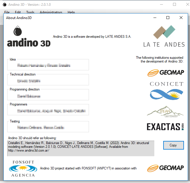


Andino 3D is a structural modeling software that allows the integration of all the information available in your company or area of interest in a three-dimensional environment. A tool that allows the integration of mixed geological and geophysical information. Handle digital topographies, raster images, 2D and 3D seismic, well information, vector maps, surface and subsurface structural information. You can organize information linking to external files.

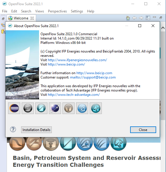


OpenFlow Suite 2022 is another step forward in the continuous development of Beicip-Franlab E&P Software Suite. Bringing new capabilities, more user-friendliness and better performances, OpenFlow Suite is now more than ever a complete platform for basin, petroleum system and reservoir assessment to address the O&G industry challenges, while engaging in the energy transition with solutions for geothermal and carbon storage modeling.

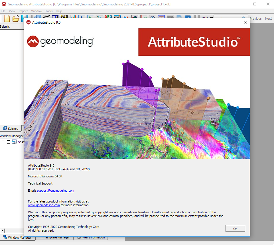


Geomodeling Technology Corp. is a leading innovator of seismic attribute analysis and multi-scale reservoir modeling software and services for the upstream exploration and production industry. We enable petroleum companies to maximize revenue and reduce costs with software solutions and project-based services for improved reservoir characterization and recovery. We are a privately-held global company with headquarters in Calgary, offices in Beijing and Houston, and customers around the world.

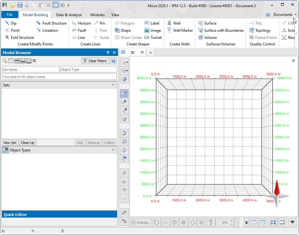


The MOVE suite 2020 is the most complete structural modelling and analysis toolkit available. It provides a full digital environment for best practice structural modelling to reduce risk and uncertainty in geological models. The MOVE suite provides a platform for integrating and interpreting data, cross-section construction, 3D model building, kinematic restoration and validation, geomechanical modelling, fracture modelling, fault response modelling, and fault & stress analysis.



Petrosys is the leader in mapping, modeling and data management solutions for the oil & gasindustry – uniquely integrated with the broadest range of specialist geoscience and GIS applications. Petrosys produces quality maps and visualizations. It aggregates, manages and analyzes the underlying data – for actionable results that communicate with clarity and accuracy. Petrosys is the industry leader in mapping, surface modeling and data management software solutions – delivering direct connectivity with the E&P industry’s most popular exploration, production and GIS data sources. Petrosys produces high quality maps and surface models. It manages, edits, and analyses the underlying information including the specialised seismic, well and geoscience data used in the search for oil and gas. Geoscientists, data managers and engineers at more than 300 sites worldwide use Petrosys software as an essential tool for basin and field interpretation, to enhance enterprise data management and to help make better decisions.

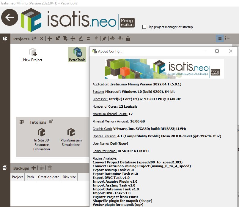


Isatis.neo 2022.04 is the leading and most comprehensive software solution for geostatistics. Featuring an intuitive user interface, it results from Geovariances’ dual commitment to developing breakthrough technology and making premium geostatistics accessible to more users. Designed for every business dealing with spatialized data, Isatis.neo exceeds industry standards in geostatistics. The software enables thorough data analysis and visualization, produces high-quality maps and models, and allows you to carry out extensive uncertainty and risk analyses that optimize your decision-making process.




  • همه
  • تولید
  • حفاری
  • سایزمیک
  • مخزن
  • پتروفیزیک
  • ژئومکانیک
  • پیش فرض
  • عنوان
  • تاریخ
  • تصادفی
بارگزاری بیشتر کلید شیفت نگه دارید. تمامی خبرها

درباره PetroTools


تیم PetroTools با داشتن کادری مجرب، ارائه دهنده کلیه نرم افزارهای مهندسی نفت، مخزن، زمین شناسی، پتروفیزیک، لرزه نگاری و غیره می باشد. جهت تهیه نرم افزارهای مورد نیاز خود، از طریق منوی تماس با ما در خواست خود را ارسال کنید.