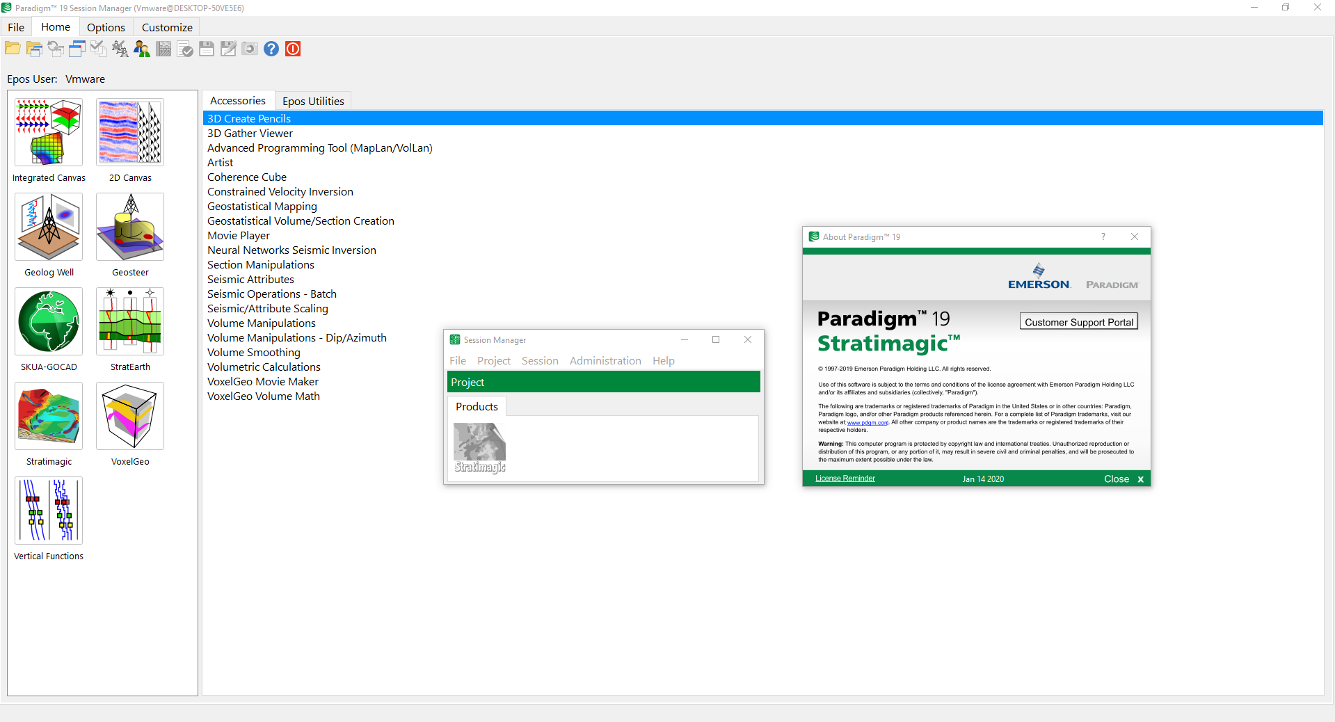
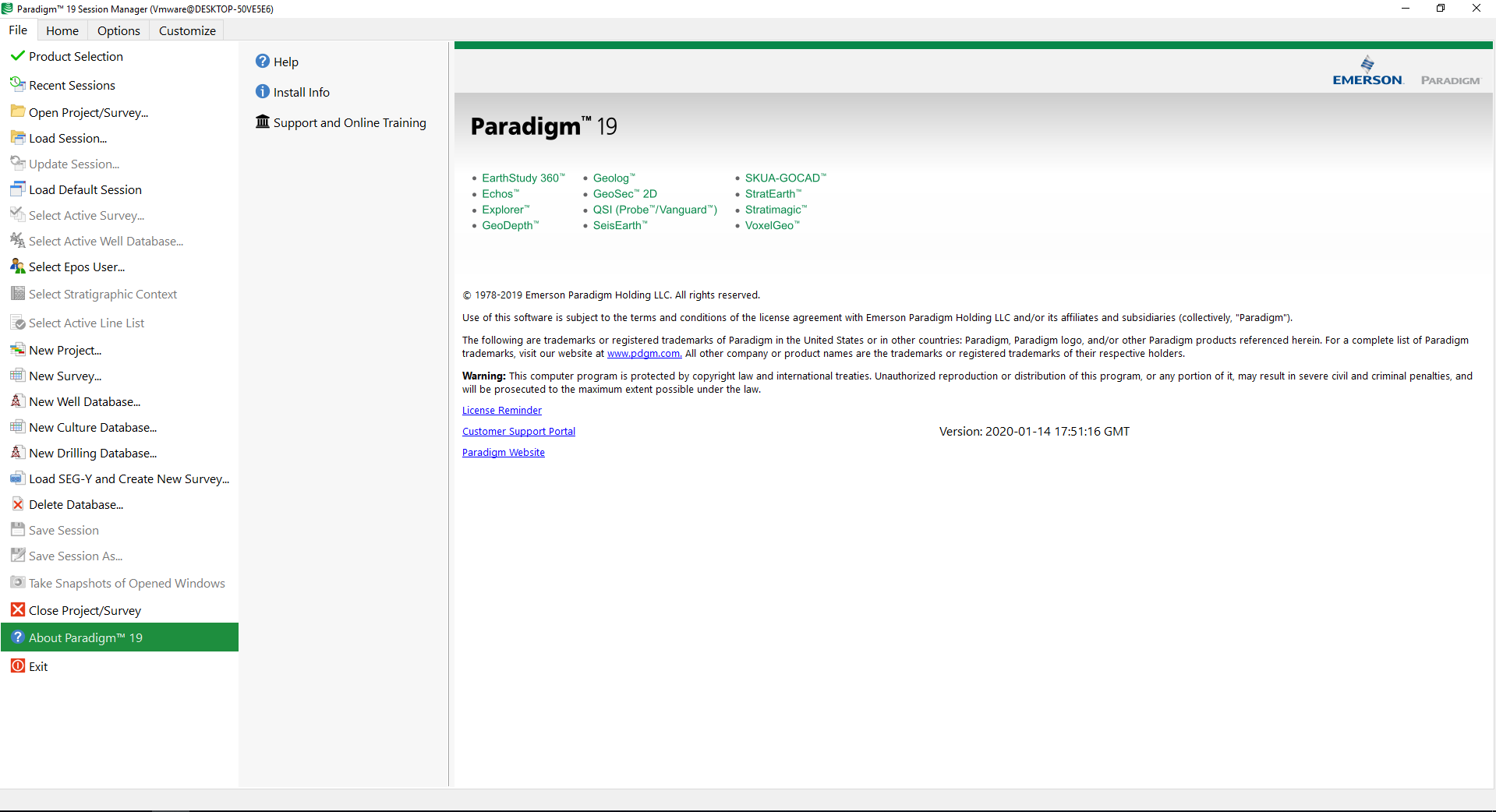
غول ژئوفیزیک پارادایم | Paradigm 19

The Paradigm 19 release offers new and enhanced functionalities to support Emerson’s strategic focus on usability, productivity, automation, performance and collaboration in all E&P software domains, from seismic processing and imaging to reservoir modeling. The result is more efficient workflows, accurate results that reduce uncertainty, and cost savings across our customers’ entire organization. Paradigm 19 is available both as a cloud-hosted and on premise solution, continuing to deliver best-in-breed software applications and workflows while ensuring maximum flexibility, scalability and performance at all levels of use.

Paradigm 19
Leading Science | Deeper Insights
The Paradigm 19 release offers new and enhanced functionalities to support Emerson’s strategic focus on usability, productivity, automation, performance and collaboration in all E&P software domains, from seismic processing and imaging to reservoir modeling. The result is more efficient workflows, accurate results that reduce uncertainty, and cost savings across our customers’ entire organization.
Paradigm 19 is available both as a cloud-hosted and on premise solution, continuing to deliver best-in-breed software applications and workflows while ensuring maximum flexibility, scalability and performance at all levels of use.
THE EMERSON ADVANTAGE!
Automation delivers high productivity and more analysis time.
Uncompromising science optimizes subsurface images, resulting in more accurate models, for better drilling decisions.
Cloud-hosted and on premise provision enable flexible, scalable, cost-effective solution delivery.
Artificial intelligence capabilities enable unbiased and probabilistic reservoir property models, for faster time to first oil.
Workflows for Interpreters
Using a workflow-driven user interface, the Emerson portfolio of Workflows for Interpreters offers unique, best-in-class technologies in the same integrated platform where day-to-day interpretation is performed. Advanced functionalities, such as seismic classification, advanced visualization, geobody picking, quantitative seismic interpretation, and others, are available directly within a comprehensive interpretation environment, with no need to move to specialized software from third-party vendors.
With a seamless workflow, consistent user interfaces, and common viewers, Emerson Workflows for Interpreters preclude the need to learn new applications, and eliminate the challenges associated with moving data between platforms, including the risk of data duplication, loss of data integrity, etc. The integrated workflow improves productivity while also enabling faster product adoption and a reduced learning curve.

High-resolution Seismic Processing and Imaging
A new framework for running parallel tomography jobs with different parameters enhances productivity and understanding of sensitivities and uncertainty.
New ability to vary the tomography grid with depth enables high resolution shallow modeling, providing a leap in model quality and productivity
Dramatically reduced I/O initialization time improves EarthStudy 360 productivity, particularly important for cloud runs.
The new EarthStudy 360 converted wave imaging mode delivers substantial improvements in areas below gas clouds or salt domes.
Significant extensions to 3D Kirchhoff migration workflows, including a new OVT binning application.
Additional usability and productivity when handling large numbers of 2D lines.
Improvements to the seismic operation tool set provide greater flexibility and capability.
High-resolution Seismic Interpretation
New Workflows for Interpreters: Principal Component Analysis and Multi-body Geobody Detection (created by migrating Stratimagic™ and VoxelGeo™ functionalities into the Integrated Canvas).
Chained workflows: The ability to chain workflows together adds efficiency to the overall interpretation workflow and marks a significant step towards automation and retrieval of repeating workflows.
Optimized performance when working with large seismic data sets.
Import and display of outcrop data in 2D interpretation windows, to validate and guide interpretations in poor-quality onshore seismic data.
A new, groundbreaking stochastic inversion module (Modified Stochastic Inversion – MSI), demonstrating excellent performance and the ability to handle very complex sub-surface structures.
Enhancements to rock physics analysis, including a powerful multi-dimensional cross-plotting capability that boosts productivity and provides an improved user experience.

Formation Evaluation
Increased efficiency through new data query and visualization tools, including a new timeline view showing operational events for a well; these lead to vastly improved information management productivity.
The user experience when setting up a real-time geosteering environment has been streamlined through the ability to stream WITSML data directly into the Geolog™ Geosteer™ module.
Early detection of hydrocarbons present in the drilled formations is enabled through the addition of a new mud gas analysis module, enabling safer drilling through early detection of gas kicks.
Additional flexibility in customization and plug-in development productivity through the deployment of the Python environment as an integral part of the installation.
Geological Modeling
Streamlined automation in SKUA-GOCAD™, enhancing the ability to re-run all reservoir workflows for fast model update and uncertainty quantification, considerably reducing time-to-business decisions.
Combine proven Jacta reservoir risk assessment, innovative SKUA structural uncertainty (of both faults and horizons), and SKUA-GOCAD’s dynamic modeling workflows to enable systematic, comprehensive, and rigorous reservoir uncertainty analysis. This workflow automation enables SKUA-GOCAD to become a core component of Big Loop™.
More accurate models through refining SKUA-GOCAD UVT-based models to better fit high-resolution input data. This enables the construction of robust models, boosting confidence and empowering model-centric geophysical workflows such as tomography and stratigraphy-constrained velocity modeling.
A new 3D factorial kriging algorithm which decomposes a property into multiple components based on spatial analysis of the input signal, allowing a reduction in both noise levels and seismic acquisition footprints.
Improved data flow between SKUA-GOCAD and Epos for well markers and stratigraphic data, increasing efficiency and facilitating collaboration between users.
Enhanced usability for a variety of 2D displays, significantly reducing the number of mouse clicks needed to perform specific tasks.
تیم PetroTools آخرین نسخه این نرم افزار را برای شما ارائه می دهد. جهت تهیه نرم افزار با استفاده از منوی خرید با ما در تماس باشید
For buy software, Please contact us via buy menu


 O-Sense