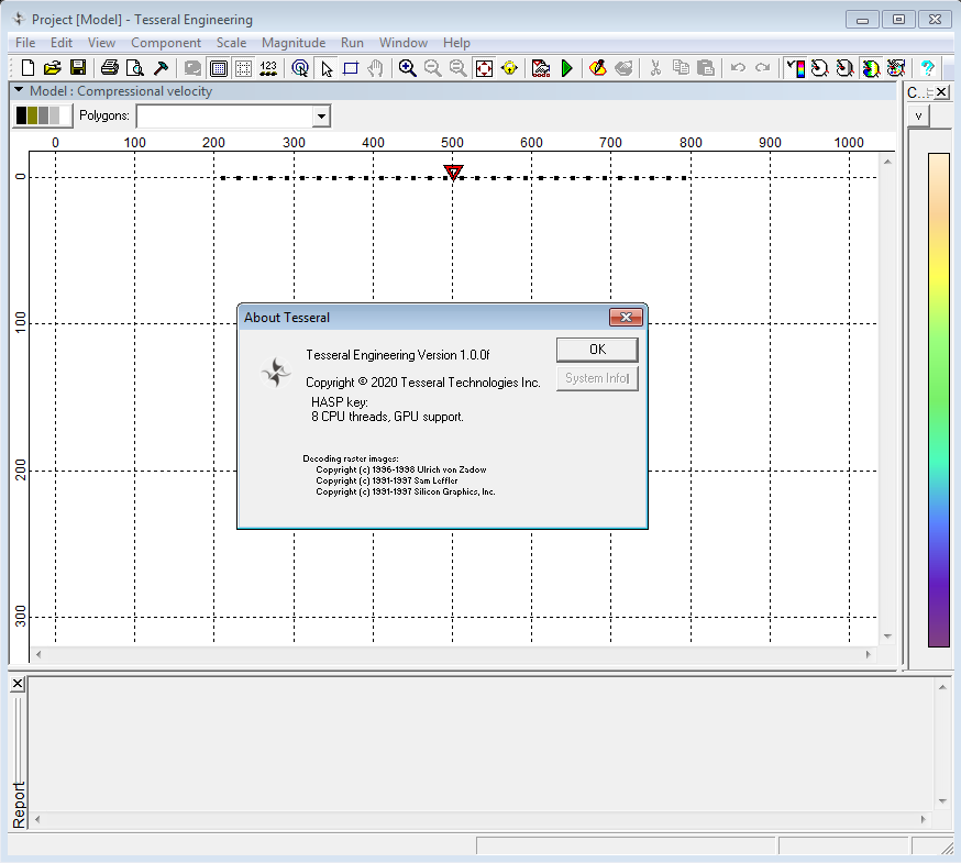
لرزه نگاری | Tesseral Engineering 1.0.0f

Tesseral Engineering is customized for near-surface, much more affordable version of the World's most popular oil & gas full-wave modelling software package Tesseral. The program allows one to simulate the initial seismic data for media of any complexity in order to test the capabilities of the selected acquisition system for geological problems solution. Modelling at the work planning step enables to determine the optimal acquisition system, and at the interpretation stage − to make sure that it is adequate and reliable for particular problem solution. The engineering version of the software package works with 2D models of any length, depth up to 300 m and a maximum number of channels in the active spread equal to 101, which more than enough covers almost the entire range of shallow seismic tasks.
Tesseral Engineering implements accurate and fast calculations of 2D synthetics using a variety of methods (more than 10), ranging from ray tracing to viscoelastic modelling, taking into account 3D TTI anisotropy and several 3D fracture systems, which enables performing modelling of arbitrarily complex geological media in the shortest possible time, including a combination of solids and liquids, with any number of boundaries of any geometry. Flexible toolkit for building a studied medium allows one to use drilling data or well logs, create continuous layers and closed-loop configurations with a fixed or complex distribution of physical properties, such as P- and S-wave velocities, density, damping parameters, porosity with fluid properties, fractures, and Thomsen anisotropic parameters. The software supports importing a model from txt or SEG-Y files and using raster images as a background for drawing model polygons. The modelling method is selected automatically based on the properties of the model, the problem and the expected results.

The user has access to various options for acquisition systems - sources and receivers can be located on the surface of a model, in a water column, at the bottom of water area or in boreholes of any geometry. Each receiver can be defined as a 1/2/3C geophone or hydrophone. Users can set the frequency and signature of the source, assign it as omnidirectional, directional dipole / monopole, or in the form of symmetric oscillations of lateral stresses of a small volume. It is also possible to simulate a solid extended source to imitate the propagation of plane waves or exploding horizons, resulting in a time section t0.
When using Tesseral Engineering at the interpretation stage, the user can upload the section obtained as a result of processing real data, add physical properties and targets (karsts, faults, fracture zones, taliks, etc.) into it, perform modelling and compare the calculated seismic gathers with real ones. Subsequent processing of synthetic gathers allows determining the reliability of interpretation and the limits of capabilities of the given acquisition system on a specific section when solving the geological or geotechnical problem.
Tesseral Engineering allows users to flexibly customize the visualization of calculated synthetic gathers, adjust the palette and gain in different ways, add noise, random time shifts of traces, or simulate receiver grouping. Built-in tools enable to evaluate the dynamics of wave propagation in the geological model and perform detailed analysis of the seismic record components as well as to determine the features of wanted waves and interference waves on synthetic and real seismic gathers. It is also possible to sort traces, convert from times to depths and backwards, split or combine seismic gathers and calculate their differences. The calculated synthetic data is saved in SEG-Y format. The user can also visualize the wave fronts propagation in the model’s body, as well as save it in the form of snapshots or videos.
تیم PetroTools آخرین نسخه این نرم افزار را برای شما ارائه می دهد. جهت تهیه نرم افزار با استفاده از منوی خرید با ما در تماس باشید
For buy software, Please contact us via buy menu


 O-Sense
